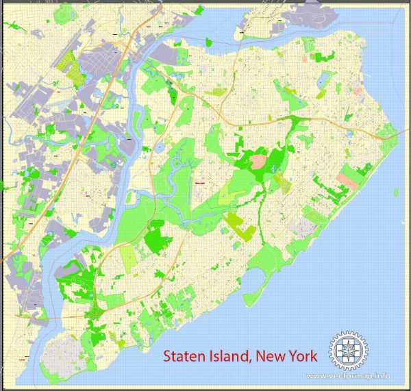
Vector Maps of the Staten Island : island and borough, New York City, southeastern New York state, U.S. The island lies in New York Harbor south of Manhattan and between New Jersey and Brooklyn. With several smaller islands it forms Richmond county and the Staten Island borough of New York City. Roughly triangular, the island has about 35 miles (56 km) of waterfront and an area of almost 60 square miles (155 square km). It is connected with Manhattan by the Staten Island Ferry, which carries passengers and automobiles; with New Jersey by several bridges; and with Brooklyn by the Verrazano-Narrows Bridge. The opening of the latter in 1964 spurred considerable development of the island.
Land area: 152 km²
Download royalty free, editable vector maps of Staten Island New York City in high resolution digital PDF and Adobe Illustrator format.
PDF Map — Staten Island New York City US
A clean PDF map of Staten Island New York City US with named layers and consistent geometry for fast cartographic work. Waterfronts and parks receive extra separation for better contrast on light palettes. Bridges, tunnels and ferry lines are isolated so routes remain legible after recolor. The file accepts custom grids, legends and callouts without redrawing base content. Coordinates and scales are prepared for sheet production and consistent exports. Typography spacing is tuned for quick reading on posters, brochures and reports.
Works well as an underlay for wayfinding, transport schemes and editorial layouts. Use it for visitor guides, city infographics, investment decks and municipal communications. Files remain compact thanks to clean geometry and disciplined labeling. Reliable as a base layer; easy to adapt when projects or sponsors change. Color systems can be swapped quickly to match seasonal or brand variants.


 Author: Kirill Shrayber, Ph.D. FRGS