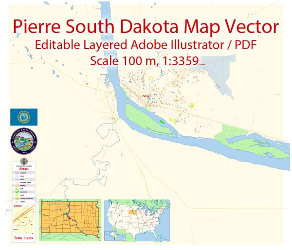
PDF Map — Pierre South Dakota US
An editable PDF map of Pierre South Dakota US designed as a dependable base for print and digital layouts. District and neighborhood labels are arranged to avoid collisions around dense cores. The file accepts custom grids, legends and callouts without redrawing base content. Layer structure separates arterials and locals, districts, hydrography, parks and landmarks. Bridges, tunnels and ferry lines are isolated so routes remain legible after recolor. Named layers let you restyle colors, line weights and label classes without cleanup passes.
Saves prepress time by reducing manual fixes and keeping the visual system consistent. Works well as an underlay for wayfinding, transport schemes and editorial layouts. Legibility holds up on handheld leaflets and large lobby posters alike. Reliable as a base layer; easy to adapt when projects or sponsors change. The map integrates neatly with common DTP and GIS workflows.


 Author: Kirill Shrayber, Ph.D. FRGS