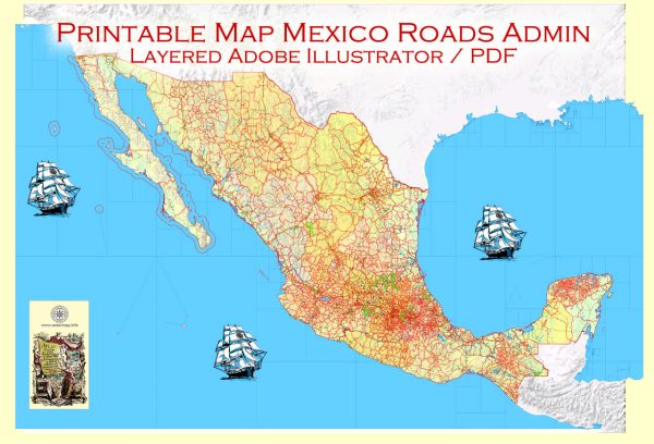
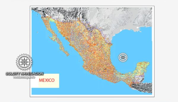
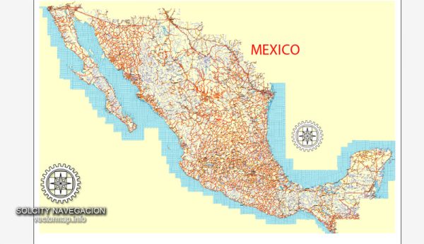
Vector Maps of the Mexico : officially the United Mexican States, is a country in the southern portion of North America. It is bordered to the north by the United States; to the south and west by the Pacific Ocean; to the southeast by Guatemala, Belize, and the Caribbean Sea; and to the east by the Gulf of Mexico.
Area:
• Total: 1,972,550 km2 (761,610 sq mi)
• Water: (%) 1.58
Download royalty free, editable vector maps of Mexico in high resolution digital PDF and Adobe Illustrator format.
Vectormap.Net provide you with the most accurate and up-to-date vector maps in Adobe Illustrator, PDF and other formats, designed for editing and printing. Please read the vector map descriptions carefully.
Mexico is a diverse and vast country with a rich cultural and geographical landscape. The following is a brief overview of some of the main cities, towns, and principal roads in Mexico:
Main Cities:
- Mexico City (Ciudad de México):
- As the capital and largest city, Mexico City is a bustling metropolis known for its historic sites, vibrant culture, and economic significance. Key landmarks include the Zócalo (main square), the National Palace, and the Chapultepec Castle.
- Guadalajara:
- Located in the western part of the country, Guadalajara is Mexico’s second-largest city. It is known for its rich history, tequila production, and cultural events like the International Film Festival of Guadalajara.
- Monterrey:
- Situated in the northeast, Monterrey is an industrial and business hub with a striking mountainous backdrop. It is known for its modern architecture, museums, and outdoor activities.
- Puebla:
- A UNESCO World Heritage Site, Puebla is famous for its well-preserved colonial architecture, including the Puebla Cathedral and the Rosary Chapel. It is also known for its cuisine, especially the traditional dish, mole poblano.
- Cancún:
- Located on the Yucatán Peninsula, Cancún is a popular tourist destination known for its beautiful beaches, vibrant nightlife, and proximity to archaeological sites like Chichen Itzá and Tulum.
- Tijuana:
- Situated on the U.S.-Mexico border, Tijuana is a major gateway between Mexico and the United States. It is known for its diverse culinary scene, shopping, and cultural events.
Towns:
- San Miguel de Allende:
- A colonial town in central Mexico, San Miguel de Allende is known for its well-preserved historic architecture, art scene, and cultural festivals.
- Oaxaca City:
- In the southern part of the country, Oaxaca City is celebrated for its indigenous cultures, vibrant markets, and traditional arts and crafts.
- Guanajuato:
- Famous for its colorful buildings, narrow streets, and underground tunnels, Guanajuato is a charming colonial town with a rich mining history.
Principal Roads:
- Mexican Federal Highway 1 (Carretera Federal 1):
- Stretching along the Baja California Peninsula, this highway offers scenic views and access to various coastal towns and attractions.
- Mexican Federal Highway 45 (Carretera Federal 45):
- Connecting Ciudad Juárez to Mexico City, this highway passes through diverse landscapes, including the Chihuahuan Desert and the Sierra Madre Occidental.
- Mexican Federal Highway 180 (Carretera Federal 180):
- Running along the Gulf of Mexico, this highway connects various cities and beach destinations on the eastern side of the country.
- Mexican Federal Highway 57 (Carretera Federal 57):
- Linking Mexico City to the U.S. border, this highway is a major north-south route, passing through cities like Querétaro and San Luis Potosí.
These are just a few examples, and Mexico has an extensive network of highways and roads that connect its diverse regions, offering travelers access to a wide range of landscapes and cultural experiences.


 Author: Kirill Shrayber, Ph.D. FRGS