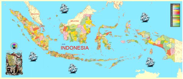
Vector Maps of the Indonesia : officially the Republic of Indonesia is a country in Southeast Asia and Oceania between the Indian and Pacific oceans. It consists of over 17,000 islands, including Sumatra, Sulawesi, Java, and parts of Borneo and New Guinea.
Capital: Jakarta
Area:
• Total: 1,904,569[6] km2 (735,358 sq mi)
• Water: (%) 4.85
Download royalty free, editable vector maps of Indonesia in high resolution digital PDF and Adobe Illustrator format.
PDF Map — Indonesia Full
A clean PDF map of Indonesia Full with named layers and consistent geometry for fast cartographic work. Contours and landuse layers can be toggled to match tourism or planning use cases. Typography spacing is tuned for quick reading on posters, brochures and reports. Waterfronts and parks receive extra separation for better contrast on light palettes. Layer structure separates arterials and locals, districts, hydrography, parks and landmarks. Crisp vectors preserve edges at high DPI and export compactly for web delivery.
Works well as an underlay for wayfinding, transport schemes and editorial layouts. Saves prepress time by reducing manual fixes and keeping the visual system consistent. Color systems can be swapped quickly to match seasonal or brand variants. Editors can brand the palette and icons, then export sharp results for both print and web. The map integrates neatly with common DTP and GIS workflows.


 Author: Kirill Shrayber, Ph.D. FRGS