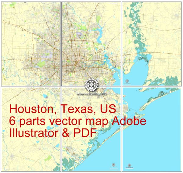
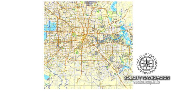
Vector Maps of the Houston : inland port city, in Harris, Fort Bend, and Montgomery counties, that is the seat (1836) of Harris county, southeastern Texas, U.S. It is linked by the Houston Ship Channel to the Gulf of Mexico and the Intracoastal Waterway at Galveston, 50 miles (80 km) southeast. Houston is the state’s most populous city and the fourth largest city in the United States. Its skyscrapers rise from the unrelievedly flat Gulf Coastal Plain, which at Houston lies at an elevation of about 55 feet (17 meters) above sea level and is dissected by a series of bayous. The region’s climate is warm and humid, and the city is noted for its hot, sticky summers. In addition to Galveston, other major cities in the Houston metropolitan area include Baytown, League City, Missouri City, Pasadena, Sugar Land, and Texas City. Inc. 1837.
Area 601 square miles (1,559 square km).
Instant download archives: royalty free, editable vector maps of Houston Texas in high resolution digital PDF and Adobe Illustrator format.
All of our editable Houston Texas vector maps are digital files,
which can be instantly downloaded in editable PDF or Adobe Illustrator format.
Objects on maps are usually divided into layers according to their types – lines, polygons, street names, object names (see map description!!!!)
Each of our Houston Texas digital maps is available in Adobe Illustrator or editable PDF format, (or on request in any other known format for the same price)
which use a vector approach to display images,
you can easily enlarge any part of our maps without compromising text, line or graphic quality,
with any increase or decrease ratio.
Using a vector graphics editor such as Adobe Illustrator, CorelDraw, Inkscape, or Freehand
you can easily crop parts of the map, add custom characters, and change colors and font attributes as needed.
We have a variety of Houston Texas vector maps with different levels of detail, from simple empty paths to highly detailed maps with roads and terrain layers.
Don’t see exactly what you’re looking for? Contact us to receive a special offer for an individual Houston Texas map for your project.


 Author: Kirill Shrayber, Ph.D. FRGS