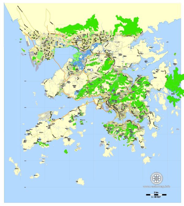
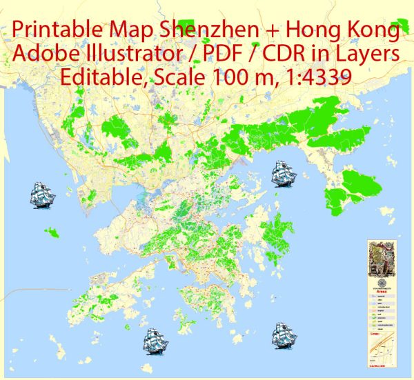
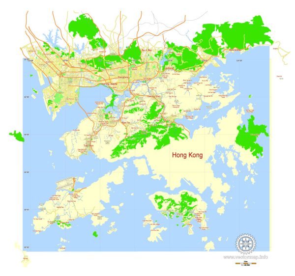
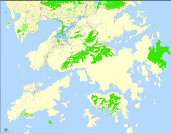
Vector Maps of the Hong Kong : officially the Hong Kong Special Administrative Region of the People’s Republic of China, is a city and special administrative region of China on the eastern Pearl River Delta in South China.
Area: 1,106 km²
Download royalty free, editable vector maps of Hong Kong China in high resolution digital PDF and Adobe Illustrator format.
Hong Kong is primarily known for its well-developed road and rail transportation systems, as well as its extensive ferry services. It’s important to note that while Hong Kong is a Special Administrative Region (SAR) of China, it has a high degree of autonomy, and its transportation infrastructure is distinct from that of mainland China.
Waterways:
- Victoria Harbour: Victoria Harbour is a natural harbor that separates Hong Kong Island from the Kowloon Peninsula. While it is a crucial waterway, it is primarily used for ferry services and recreational activities.
- Ferry Services: Hong Kong has an extensive network of ferry services that connect Hong Kong Island, Kowloon, and the outlying islands. These ferries play a vital role in transporting passengers and goods between different parts of the territory.
- Cargo Terminals: Hong Kong has several cargo terminals and container ports, including the Kwai Tsing Container Terminals, which handle a significant portion of the region’s container traffic. These facilities contribute to Hong Kong’s status as a major international trading and logistics hub.
Railroads:
- Mass Transit Railway (MTR): The Mass Transit Railway (MTR) is the backbone of Hong Kong’s rail transportation system. It includes several lines that connect various districts of Hong Kong, such as Hong Kong Island, Kowloon, and the New Territories. The MTR is a fast and efficient means of transportation, and it serves millions of passengers daily.
- High-Speed Rail Link: The Guangzhou-Shenzhen-Hong Kong High-Speed Rail Link connects Hong Kong to the high-speed rail network in mainland China. The Hong Kong West Kowloon Station serves as the terminus for this high-speed rail link, providing fast and convenient rail travel to cities like Guangzhou and Shenzhen.
- Light Rail: The Light Rail system primarily operates in the New Territories, providing additional transportation options for residents in less densely populated areas. It complements the MTR and other modes of transportation.
- Trams: The iconic double-decker trams primarily operate on Hong Kong Island. While they are not as extensive as the MTR, buses, or other modes of transportation, they offer a unique and leisurely way to travel through certain parts of the city.
Hong Kong’s transportation infrastructure is continually evolving to meet the needs of its growing population and maintain its status as a global financial and logistics hub. For the latest and most accurate information, it is advisable to check with local transportation authorities or official sources.


 Author: Kirill Shrayber, Ph.D. FRGS