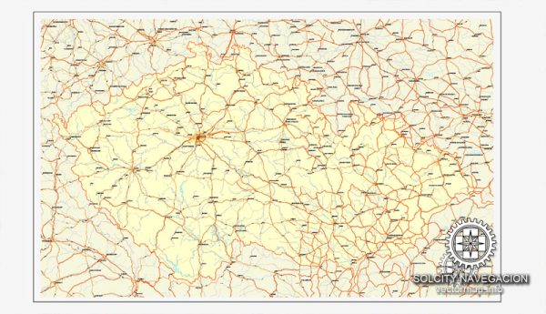
PDF Map — Czech Republic Full
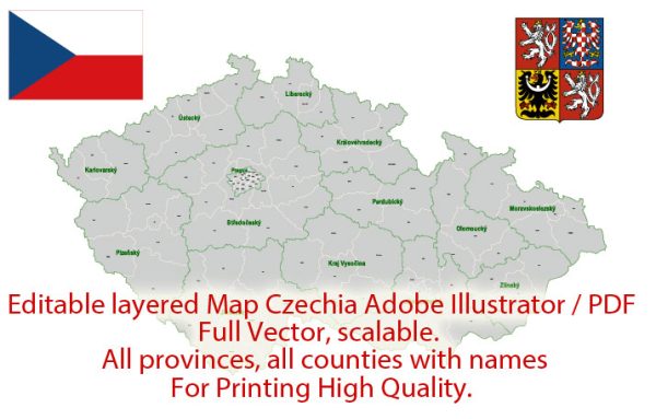
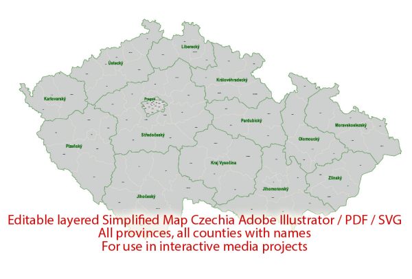
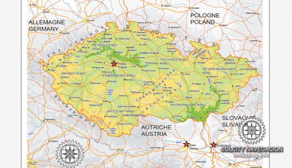
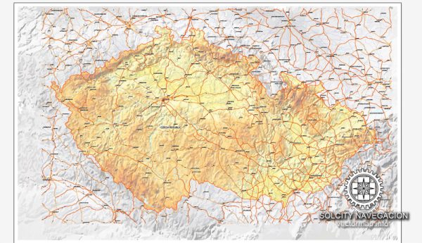
A production‑ready PDF map of Czech Republic Full built for clear labeling and predictable output across sizes. Layer structure separates arterials and locals, districts, hydrography, parks and landmarks. District and neighborhood labels are arranged to avoid collisions around dense cores. Typography spacing is tuned for quick reading on posters, brochures and reports. Waterfronts and parks receive extra separation for better contrast on light palettes. Crisp vectors preserve edges at high DPI and export compactly for web delivery.
Ideal for signage, event maps, campus leaflets and waterfront brochures. Use it for visitor guides, city infographics, investment decks and municipal communications. Legibility holds up on handheld leaflets and large lobby posters alike. Editors can brand the palette and icons, then export sharp results for both print and web. The map integrates neatly with common DTP and GIS workflows.

 Author: Kirill Shrayber, Ph.D. FRGS