List of ready-made Vector Maps of the state of Ohio US |
|
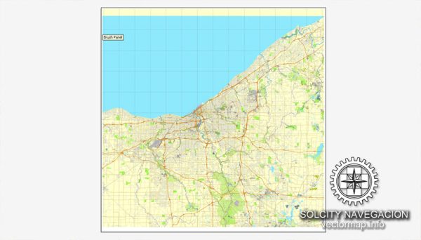
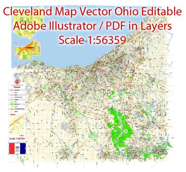
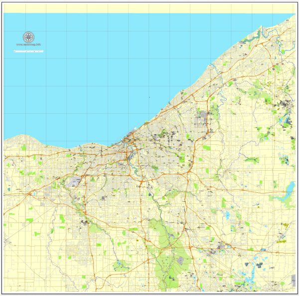
| Cincinnati, Ohio = 13 maps Cleveland, Ohio = 13 maps Columbus, Ohio = 12 maps Dayton, Ohio = 11 maps |
Lakewood, Ohio = 4 maps Ohio State Full Detailed Map = 2 maps Springfield, Ohio = 6 maps Toledo, Ohio = 2 maps Youngstown, Ohio = 2 maps |
Vector Maps of the Ohio : state in the Midwestern region of the United States. Of the fifty U.S. states, it is the 34th-largest by area, and with a population of nearly 11.9 million, is the seventh-most populous and tenth-most densely populated.
Capital and largest city: Columbus
Largest metro and urban areas: Greater Cleveland (Combined and urban)
Greater Cincinnati (metro)
Greater Columbus (metro)
Area
• Total 44,825 sq mi (116,096 km2)
• Land 40,948 sq mi (106,156 km2)
• Water 3,877 sq mi (10,040 km2) 8.7%
Area rank 34th
Dimensions
• Length 220 mi (355 km)
• Width 220 mi (355 km)
Elevation 850 ft (260 m)
Highest elevation Campbell Hill 1,549 ft (472 m)
Lowest elevation Ohio River at Indiana border 455 ft (139 m)
Population
• Total 11,832,287
• Rank 7th
• Density 282/sq mi (109/km2)
Instant download archives: royalty free, editable vector maps of Ohio US in high resolution digital PDF and Adobe Illustrator format.
All of our editable Ohio US vector maps are digital files,
which can be instantly downloaded in editable PDF or Adobe Illustrator format.
Objects on maps are usually divided into layers according to their types – lines, polygons, street names, object names (see map description!!!!)
Each of our Ohio US digital maps is available in Adobe Illustrator or editable PDF format, (or on request in any other known format for the same price)
which use a vector approach to display images,
you can easily enlarge any part of our maps without compromising text, line or graphic quality,
with any increase or decrease ratio.
Using a vector graphics editor such as Adobe Illustrator, CorelDraw, Inkscape, or Freehand
you can easily crop parts of the map, add custom characters, and change colors and font attributes as needed.
We have a variety of Ohio US vector maps with different levels of detail, from simple empty paths to highly detailed maps with roads and terrain layers.
| Free Vector Map Ohio State US Ai + PDF | |
|---|---|
List of OHIO counties |
List of Cities and towns by counties |
Don’t see exactly what you’re looking for? Contact us to receive a special offer for an individual Ohio US map for your project.

 Author: Kirill Shrayber, Ph.D.