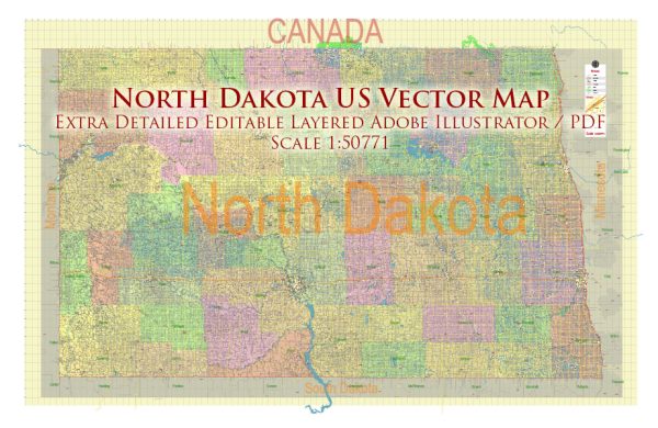
Map — North Dakota State Map
A clean map of North Dakota State Map with named layers and consistent geometry for fast cartographic work. Named layers let you restyle colors, line weights and label classes without cleanup passes. Waterfronts and parks receive extra separation for better contrast on light palettes. Contours and landuse layers can be toggled to match tourism or planning use cases. Bridges, tunnels and ferry lines are isolated so routes remain legible after recolor. District and neighborhood labels are arranged to avoid collisions around dense cores.
Ideal for signage, event maps, campus leaflets and waterfront brochures. Works well as an underlay for wayfinding, transport schemes and editorial layouts. The map integrates neatly with common DTP and GIS workflows. Editors can brand the palette and icons, then export sharp results for both print and web. Files remain compact thanks to clean geometry and disciplined labeling.


 Author: Kirill Shrayber, Ph.D. FRGS