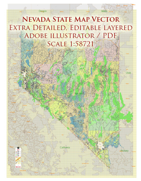
In Nevada, the road system includes a mix of toll and free roads, though the state is known for having a relatively minimal number of toll roads compared to other states.
Vectormap.Net provide you with the most accurate and up-to-date vector maps in Adobe Illustrator, PDF and other formats, designed for editing and printing. Please read the vector map descriptions carefully.
Here’s a detailed overview of the toll and free roads in Nevada:
Free Roads
Interstate Highways
- Interstate 15 (I-15): This major north-south route runs from the California border through Las Vegas to the northern state border with Utah. It is a major corridor for both local and interstate travel.
- Interstate 80 (I-80): Stretching east-west across Nevada, I-80 connects Reno with the Utah border and is a critical route for transcontinental travel.
- Interstate 95 (I-95): Running north-south from Las Vegas to the Idaho border, I-95 connects various towns and cities across Nevada.
- Interstate 215 (I-215): A loop around Las Vegas, providing connectivity between different parts of the city and surrounding areas.
U.S. Highways
- U.S. Highway 50 (US 50): Known as the “Loneliest Road in America,” it runs across central Nevada from Ely to the California border. This highway offers scenic views and connects various rural communities.
- U.S. Highway 93 (US 93): Connecting the southern part of the state from Las Vegas through Ely and up to the Idaho border. It provides a vital link between different regions of Nevada.
State Routes
- State Route 160 (NV 160): Connecting Las Vegas to Pahrump and providing access to the southern regions of Nevada.
- State Route 445 (NV 445): Running from Reno to Pyramid Lake, facilitating travel to recreational areas and northern communities.
Toll Roads
As of the latest available information, Nevada has a limited number of toll roads, primarily in and around Las Vegas. The major toll roads are:
Toll Roads in Las Vegas
- I-15 Express Lanes (Managed Lanes): The I-15 Express Lanes, also known as the “HOT Lanes” (High Occupancy Toll Lanes), are located on I-15 in Las Vegas. These lanes operate with variable pricing based on traffic conditions. They provide a faster route for those willing to pay a toll and are designed to alleviate congestion on the general-purpose lanes. Toll prices vary depending on the time of day and traffic volume.
Toll Policies and Payment
- Payment Methods: For the toll roads and express lanes, payment is typically made electronically through the use of a toll transponder or electronic toll collection system. The most common system used is the “NV Express Lanes” which utilizes an electronic toll collection system. Toll rates and payment methods may be subject to change, and travelers should check current information before traveling.
- Toll Facilities: Toll facilities in Nevada are generally well-marked, and electronic signs provide information about toll rates and payment methods.
Summary
Nevada’s road network primarily consists of free roads, including interstate highways, U.S. highways, and state routes. The state has a small number of toll roads, mainly concentrated in the Las Vegas area with managed lanes on I-15 offering variable pricing to manage congestion. Toll roads are typically equipped with electronic toll collection systems to facilitate payment and ensure efficient travel. Overall, Nevada’s road system provides essential connectivity across the state with a focus on free access for the majority of its highways and routes.


 Author: Kirill Shrayber, Ph.D. FRGS