List of ready-made Vector Maps of the state of Nebraska US |
|
| Lancaster County, Nebraska = 2 maps Lincoln, Nebraska = 8 maps |
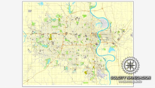
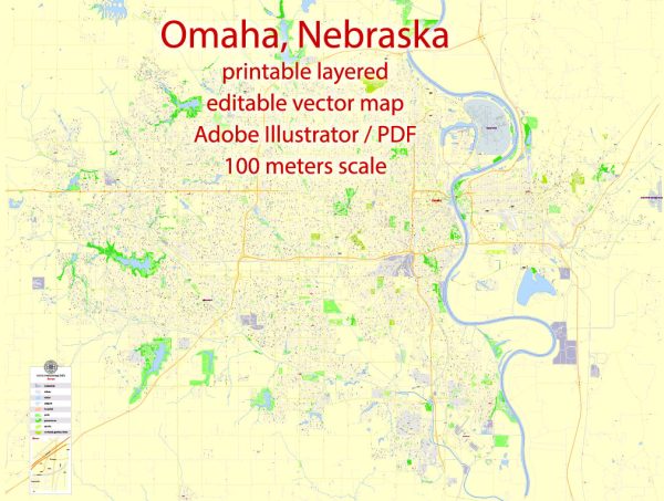
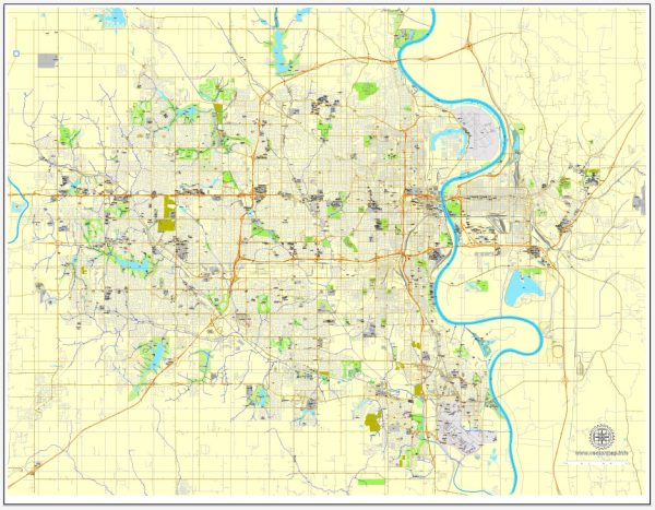
Nebraska full State detailed map = 2 maps Omaha, Nebraska = 8 maps |
Vector Maps of the Nebraska : Midwestern U.S. state encompassing the prairies of the Great Plains, the towering dunes of the Sandhills and the panhandle’s dramatic rock formations. Lincoln, the capital and a vibrant university town, is distinguished by its soaring state capitol. The city of Omaha is home to the Durham Museum, which honors the state’s pioneering past in a converted railroad depot.
Capital: Lincoln
Largest city: Omaha
Largest metro and urban areas: Omaha–Council Bluffs
Area
• Total 77,358 sq mi (200,356 km2)
• Land 76,874 sq mi (199,099 km2)
• Water 481 sq mi (1,247 km2) 0.7%
Area rank 16th
Dimensions
• Length 430 mi (690 km)
• Width 210 mi (340 km)
Elevation 2,600 ft (790 m)
Highest elevation Panorama Point 5,424 ft (1,654 m)
Lowest elevation Missouri River at Kansas border 840 ft (256 m)
Population
• Total 1,978,537
• Rank 37th
• Density 24.94/sq mi (9.63/km2)
Instant download archives: royalty free, editable vector maps of Nebraska US in high resolution digital PDF and Adobe Illustrator format.
All of our editable Nebraska US vector maps are digital files,
which can be instantly downloaded in editable PDF or Adobe Illustrator format.
Objects on maps are usually divided into layers according to their types – lines, polygons, street names, object names (see map description!!!!)
Each of our Nebraska US digital maps is available in Adobe Illustrator or editable PDF format, (or on request in any other known format for the same price)
which use a vector approach to display images,
you can easily enlarge any part of our maps without compromising text, line or graphic quality,
with any increase or decrease ratio.
Using a vector graphics editor such as Adobe Illustrator, CorelDraw, Inkscape, or Freehand
you can easily crop parts of the map, add custom characters, and change colors and font attributes as needed.
We have a variety of Nebraska US vector maps with different levels of detail, from simple empty paths to highly detailed maps with roads and terrain layers.
| Free Vector Map Nebraska State US Ai + PDF | |
|---|---|
List of NEBRASKA counties |
List of Cities and towns by counties |
Don’t see exactly what you’re looking for? Contact us to receive a special offer for an individual Nebraska US map for your project.


 Author: Kirill Shrayber, Ph.D.