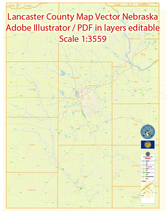
Vector Maps of the Lancaster County : county located in the U.S. state of Nebraska. Its county seat is Lincoln, the state capital. The county was created in 1859.
Area: 2,191 km²
Founded: 1859
Instant download archives: royalty free, editable vector maps of Lancaster County Nebraska in high resolution digital PDF and Adobe Illustrator format.
All of our editable Lancaster County Nebraska vector maps are digital files,
which can be instantly downloaded in editable PDF or Adobe Illustrator format.
Objects on maps are usually divided into layers according to their types – lines, polygons, street names, object names (see map description!!!!)
Each of our Lancaster County Nebraska digital maps is available in Adobe Illustrator or editable PDF format, (or on request in any other known format for the same price)
which use a vector approach to display images,
you can easily enlarge any part of our maps without compromising text, line or graphic quality,
with any increase or decrease ratio.
Using a vector graphics editor such as Adobe Illustrator, CorelDraw, Inkscape, or Freehand
you can easily crop parts of the map, add custom characters, and change colors and font attributes as needed.
We have a variety of Lancaster County Nebraska vector maps with different levels of detail, from simple empty paths to highly detailed maps with roads and terrain layers.
Lancaster County, Nebraska, is home to the city of Lincoln, which serves as the county seat. Here’s a general overview of the infrastructure components that are typically found in a county Lancaster:
- Transportation:
- Roads and Highways: Lancaster County has an extensive road network, including major highways such as Interstate 80, which passes through the region, and other state and county roads.
- Public Transit: Lincoln may have a public transit system, such as buses, serving the local community.
- Utilities:
- Water and Sewer Systems: Lancaster County likely has systems for clean water supply and wastewater treatment. Municipalities may have their own utilities or be part of regional systems.
- Electricity: The county is likely served by various power providers, and the electricity grid infrastructure is essential for residential, commercial, and industrial needs.
- Natural Gas: Infrastructure for natural gas distribution may exist for heating and energy purposes.
- Public Facilities:
- Government Buildings: Administrative offices, courthouses, and other government facilities are essential for the functioning of the county.
- Educational Institutions: Lincoln is home to the University of Nebraska-Lincoln and other educational facilities.
- Healthcare Facilities: Hospitals and medical centers provide healthcare services to residents.
- Communication Infrastructure:
- Telecommunications: The county has a network of communication infrastructure, including internet services, phone lines, and mobile networks.
- Emergency Services:
- Police and Fire Departments: Infrastructure for law enforcement and firefighting is crucial for public safety.
- Emergency Medical Services: Ambulance services and medical facilities contribute to emergency response capabilities.
- Recreational and Cultural Infrastructure:
- Parks and Recreation: The county likely features parks, recreational areas, and facilities for outdoor activities.
- Cultural Institutions: Museums, theaters, and other cultural institutions contribute to the county’s cultural landscape.
- Airport:
- Lincoln Airport may serve as a key transportation hub for the region.
Vectormap.Net provide you with the most accurate and up-to-date vector maps in Adobe Illustrator, PDF and other formats, designed for editing and printing. Please read the vector map descriptions carefully.
Don’t see exactly what you’re looking for? Contact us to receive a special offer for an individual Lancaster County Nebraska map for your project.


 Author: Kirill Shrayber, Ph.D.