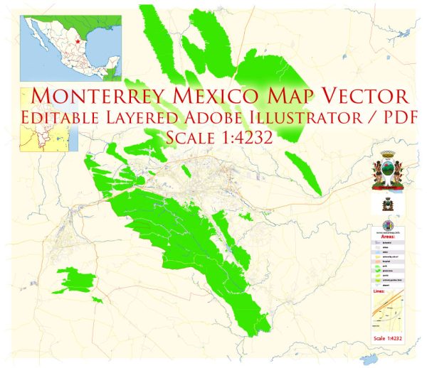
Monterrey, Mexico, boasts a well-developed transportation infrastructure that supports its status as a major economic and cultural hub.
Vectormap.Net provide you with the most accurate and up-to-date vector maps in Adobe Illustrator, PDF and other formats, designed for editing and printing. Please read the vector map descriptions carefully.
Here’s an overview of its transportation systems:
Roads and Highways
- Autopista Monterrey-Nuevo Laredo: This major highway connects Monterrey with Nuevo Laredo, facilitating trade and travel between Mexico and the United States. It is a key route for freight transportation and economic activity.
- Autopista Monterrey-Saltillo: This highway links Monterrey with Saltillo and is crucial for regional trade and travel. It is well-maintained and supports the movement of goods and people between these two important cities.
- Avenida Constitución: A major thoroughfare running through the heart of Monterrey, providing access to various commercial and residential areas.
- Avenida Morones Prieto: This road is a primary route that connects different parts of Monterrey and provides access to various key locations, including industrial areas and residential neighborhoods.
- Avenida Alfonso Reyes: Another important road that connects various neighborhoods and commercial areas, playing a role in the city’s transportation network.
Public Transit
- Metro System: Monterrey’s metro system, known as the Metrorrey, consists of multiple lines that serve the city and surrounding areas. The system includes:
- Line 1 (Red Line): Runs from the northern to the southern parts of the city, connecting key areas such as the downtown area and the university district.
- Line 2 (Green Line): Connects the western and eastern parts of Monterrey, serving major commercial and residential areas.
- Buses: Monterrey has an extensive network of buses that provide coverage across the city and surrounding municipalities. The bus system includes both standard and rapid transit routes, offering connectivity to various neighborhoods and commercial centers.
- Taxis and Ride-Sharing: Taxis are widely available throughout Monterrey, and ride-sharing services such as Uber and Didi also operate in the city, providing convenient transportation options.
Rail
- Ferrocarriles Mexicanos (Ferromex): The Mexican railway company operates freight services in Monterrey, facilitating the transportation of goods within the region and connecting to other parts of Mexico and the United States.
- Passenger Trains: While Monterrey is primarily focused on freight rail, there are some limited passenger services and connections to other parts of Mexico.
Airports
- Monterrey International Airport (Aeropuerto Internacional de Monterrey – MTY): The main airport serving Monterrey, located about 24 kilometers (15 miles) from the city center. It offers both domestic and international flights, connecting Monterrey to major cities in Mexico and around the world.
Cycling and Walking
- Bike Lanes and Paths: Monterrey has been working on expanding its network of bike lanes and paths to promote cycling as an alternative mode of transportation. Some areas of the city have dedicated bike lanes, although the network is still developing.
- Pedestrian Areas: Certain parts of the city, particularly in the downtown area and near major commercial districts, are pedestrian-friendly with sidewalks and crossings designed to accommodate foot traffic.
Monterrey’s transportation infrastructure supports its role as a major economic and cultural center, with a variety of options for road travel, public transit, and air travel. The city continues to develop its infrastructure to meet the needs of its growing population and expanding economy.


 Author: Kirill Shrayber, Ph.D. FRGS