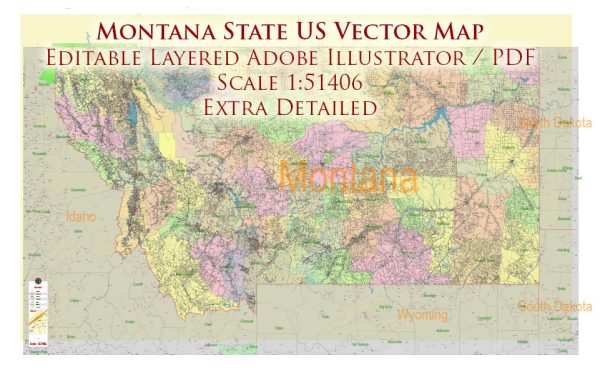
Montana’s transportation infrastructure includes a network of highways and railways that connect its diverse landscapes and communities.
Vectormap.Net provide you with the most accurate and up-to-date vector maps in Adobe Illustrator, PDF and other formats, designed for editing and printing. Please read the vector map descriptions carefully.
Here’s an overview of the state’s highway and railway systems:
Highway System
- Interstate Highways:
- Interstate 90 (I-90): This major east-west highway crosses Montana from the Idaho border to the South Dakota border, connecting cities such as Missoula, Butte, and Billings. It is a key route for long-distance travel and commerce.
- Interstate 15 (I-15): Running north-south, I-15 connects the Canadian border at Sweetgrass with the southern border of Montana at the Idaho border. It serves cities like Great Falls and Helena, and is an important corridor for transportation and trade.
- Interstate 94 (I-94): This highway runs east-west through eastern Montana, connecting the North Dakota border to the South Dakota border. It serves cities such as Glendive and Miles City.
- U.S. Highways:
- U.S. Route 2 (US 2): An important east-west route that runs parallel to I-90, connecting the state from the Idaho border to the North Dakota border. It passes through towns like Libby and Havre.
- U.S. Route 12 (US 12): This east-west highway crosses southern Montana, connecting the Idaho border to the North Dakota border and passing through cities such as Helena and Billings.
- State Highways:
- Montana has an extensive network of state highways that provide access to various regions, including remote and rural areas. These state highways are maintained by the Montana Department of Transportation (MDT) and connect communities within the state.
Railway System
- Burlington Northern Santa Fe Railway (BNSF): One of the major freight rail operators in Montana, BNSF operates an extensive network that runs through key cities and towns. The BNSF lines are vital for transporting goods such as coal, grain, and other commodities.
- Union Pacific Railroad (UP): Union Pacific operates in Montana, providing additional freight rail services. Its network connects to various parts of the state and integrates with other major rail systems.
- Amtrak: The passenger rail service Amtrak operates the Empire Builder and California Zephyr routes that pass through Montana, connecting the state to national destinations. The stops in Montana include cities like Havre and Shelby, providing travel options for residents and visitors.
- Montana Rail Link (MRL): A regional freight rail service operating in the state, Montana Rail Link provides connections to BNSF and serves various local and regional routes.
Montana’s transportation infrastructure supports both regional and long-distance travel, facilitating the movement of goods and people across the state and connecting Montana with the broader national and international networks.


 Author: Kirill Shrayber, Ph.D. FRGS