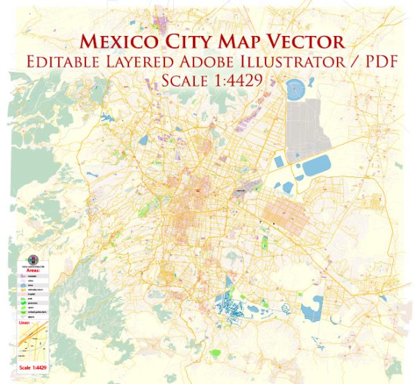
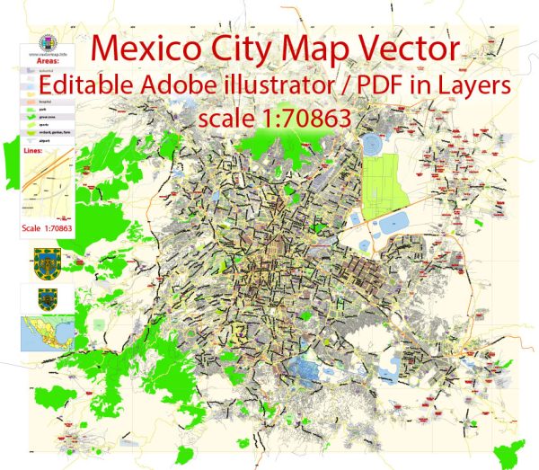
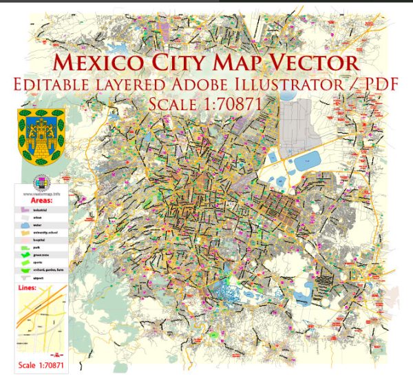
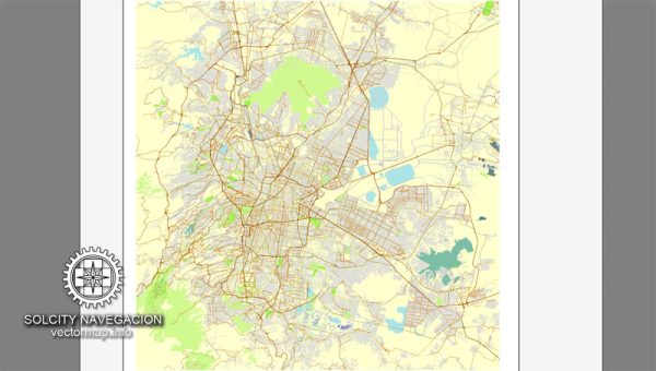
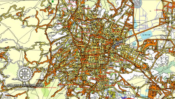
Mexico City, one of the largest and most populous cities in the world, is divided into numerous districts and neighborhoods, each with its own unique character, history, and cultural significance. The city is also known for its complex street system, which can be a bit challenging to navigate due to its sheer size and intricate layout.
Vectormap.Net provide you with the most accurate and up-to-date vector maps in Adobe Illustrator, PDF and other formats, designed for editing and printing. Please read the vector map descriptions carefully.
Districts:
- Cuauhtémoc: This district is the historic center of Mexico City, home to many iconic landmarks such as the Zócalo (main square), Metropolitan Cathedral, and the National Palace. It is a bustling area with a mix of historic architecture and modern infrastructure.
- Polanco: Known for its upscale vibe, Polanco is a fashionable district with high-end shops, restaurants, and cultural institutions. It is also home to Chapultepec Park, one of the largest city parks in the world, and the Museum of Anthropology.
- Condesa and Roma: These adjacent neighborhoods are trendy and known for their bohemian atmosphere, tree-lined streets, and Art Deco architecture. They offer a vibrant nightlife, trendy cafes, and a mix of residential and commercial spaces.
- Coyoacán: Famous for its cobblestone streets and colonial architecture, Coyoacán has a more relaxed and artsy feel. It was the home of Frida Kahlo and Leon Trotsky, and their former residences are now museums.
- Santa Fe: As a modern business district, Santa Fe is characterized by skyscrapers, corporate offices, and shopping centers. It has seen significant development in recent years and serves as a major financial and business hub.
- Iztapalapa: One of the most populous districts, Iztapalapa is a mix of residential and industrial areas. It hosts the annual Passion Play during Holy Week, which attracts a large number of visitors.
Communities:
Within each district, there are various communities and neighborhoods, each with its own identity. For example, in Condesa, you might find communities like La Condesa, Escandón, and Hipódromo, each with its own distinct charm and characteristics.
Street System:
Mexico City’s street system can be a bit intricate. The city is divided into colonias (neighborhoods), and the streets often follow a grid pattern, although there are exceptions due to the city’s historical development. Avenues are typically wider and often run diagonally across the grid. The city is also known for its traffic congestion, so navigating can be challenging during peak hours.
Overall, Mexico City is a vast and diverse metropolis with a rich cultural tapestry, and exploring its districts, communities, and streets provides a fascinating journey through history, art, and contemporary life.

 Author: Kirill Shrayber, Ph.D. FRGS