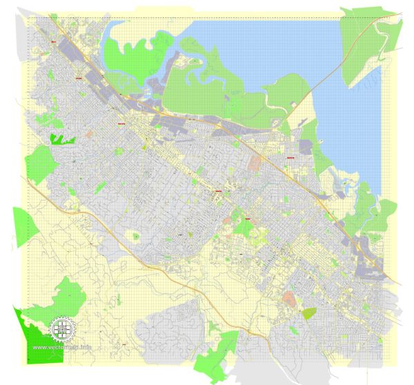
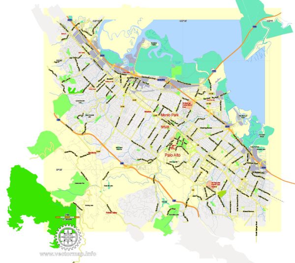
Menlo Park, located in San Mateo County, California, has a rich urban history that reflects the broader development of the San Francisco Bay Area.
Vectormap.Net provide you with the most accurate and up-to-date vector maps in Adobe Illustrator, PDF and other formats, designed for editing and printing. Please read the vector map descriptions carefully.
Here is a detailed overview of the urban history and street system of Menlo Park:
Early History:
- Menlo Park’s history can be traced back to the 1850s when two Irish immigrants, Dennis J. Oliver and D. C. McGlynn, purchased a large tract of land in the area.
- The area was initially known as the ‘Menlo Park’ by these early settlers, who named it after their hometown of Menlough in County Galway, Ireland.
- In the late 19th century, Menlo Park became a popular location for wealthy San Franciscans seeking refuge from the foggy city. They built grand estates and summer homes in the area, contributing to the town’s growth.
Incorporation and Development:
- Menlo Park was officially incorporated as a town on March 23, 1927, and the development continued steadily.
- The growth was boosted by the establishment of Stanford University in nearby Palo Alto in 1885, attracting academics, students, and professionals to the area.
- The emergence of the technology industry in the later half of the 20th century, with the establishment of companies like Xerox PARC and SRI International, further transformed the region into a hub of innovation.
Street System:
- Menlo Park’s street system is characterized by a grid pattern common in many American towns and cities. The streets are organized in a numbered and lettered grid, making navigation relatively straightforward.
- El Camino Real, a major thoroughfare that spans the length of California, passes through Menlo Park, connecting it to neighboring cities.
- Sand Hill Road, another significant route, has gained prominence as a major corridor for venture capital firms and technology companies, contributing to the town’s association with the Silicon Valley.
Landmarks and Neighborhoods:
- Menlo Park boasts various historic landmarks and neighborhoods, such as the Allied Arts Guild, a cultural and artistic center established in the 1920s.
- The Stanford Shopping Center, located partially in Menlo Park, has been a prominent retail destination since its opening in 1956.
Modern Development:
- The rapid growth of the technology industry in Silicon Valley has significantly impacted Menlo Park. The headquarters of major companies, including Facebook (now Meta) and SRI International, are located in the city.
- The development of the Menlo Gateway project has brought new commercial and residential spaces to the city, further shaping its urban landscape.
Conclusion:
Menlo Park’s urban history reflects the convergence of factors such as the growth of academia, the influx of affluent residents, and the rise of the technology industry. Its street system and grid layout contribute to the town’s accessibility, while the ongoing developments in the region continue to shape Menlo Park’s identity in the context of Silicon Valley.


 Author: Kirill Shrayber, Ph.D. FRGS