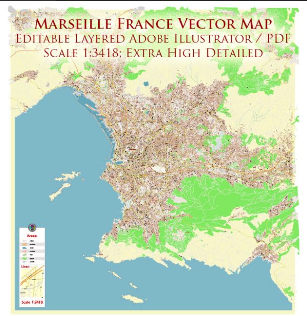
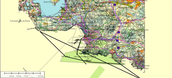
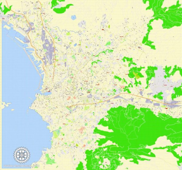
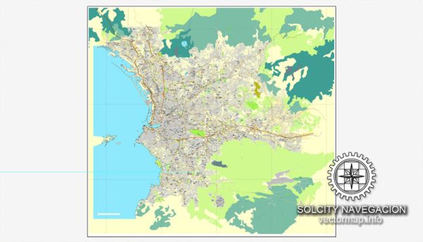
Marseille’s port, main streets, and roads play a crucial role in the city’s identity and connectivity.
Vectormap.Net provide you with the most accurate and up-to-date vector maps in Adobe Illustrator, PDF and other formats, designed for editing and printing. Please read the vector map descriptions carefully.
Here’s a detailed description:
- Vieux-Port (Old Port):
- Description: The Vieux-Port is the historic and cultural heart of Marseille. This bustling harbor is surrounded by cafes, restaurants, and markets. It’s a picturesque area where fishing boats and yachts dock, and events and festivals often take place along its quays.
- La Canebière:
- Description: La Canebière is Marseille’s main boulevard, extending from the Vieux-Port to the Réformés district. Lined with shops, theaters, and cafes, it’s a lively and central thoroughfare. The street has been a symbol of Marseille for centuries and has witnessed the city’s evolution.
- Rue de la République:
- Description: Rue de la République is a major shopping street in Marseille, connecting the Old Port to the Joliette district. It features a mix of shops, boutiques, and cafes, making it a popular destination for both locals and tourists.
- Avenue du Prado:
- Description: This broad avenue is a significant thoroughfare in Marseille, running from the Prado roundabout to the beach at Périer. Lined with trees and shops, it is a popular spot for shopping and leisure activities.
- Quai des Belges:
- Description: Quai des Belges is a waterfront promenade along the Old Port, offering stunning views of the harbor and Fort Saint-Nicolas. It’s a popular area for strolling, enjoying the sea breeze, and observing maritime activities.
- Boulevard Charles Livon:
- Description: This boulevard runs along the Mediterranean coastline, offering scenic views of the sea and the iconic Basilique Notre-Dame de la Garde. It’s a beautiful route for a leisurely drive or a pleasant walk.
- A7 (Autoroute du Soleil):
- Description: The A7 is a major highway that connects Marseille to Lyon and the northern parts of France. It serves as a vital transportation link, facilitating the flow of goods and people between Marseille and other regions.
- A55 (Autoroute Nord Littoral):
- Description: The A55 is another important highway in Marseille, connecting the city to the northern suburbs and providing a route to A7. It also passes by the iconic MuCEM (Museum of European and Mediterranean Civilisations) and Fort Saint-Nicolas.
- Avenue de la Porte d’Aix:
- Description: This avenue leads to the Porte d’Aix, a historic triumphal arch in Marseille. It serves as a gateway between the Old Port and newer parts of the city.
- Rue Saint-Ferréol:
- Description: Rue Saint-Ferréol is a vibrant shopping street located in the city center, known for its diverse retail stores, boutiques, and cafes. It’s a popular destination for those looking for a mix of high-end and budget-friendly shopping.
Marseille’s port, streets, and roads not only facilitate transportation but also contribute to the city’s vibrant atmosphere, offering a mix of historical, cultural, and commercial experiences.


 Author: Kirill Shrayber, Ph.D. FRGS