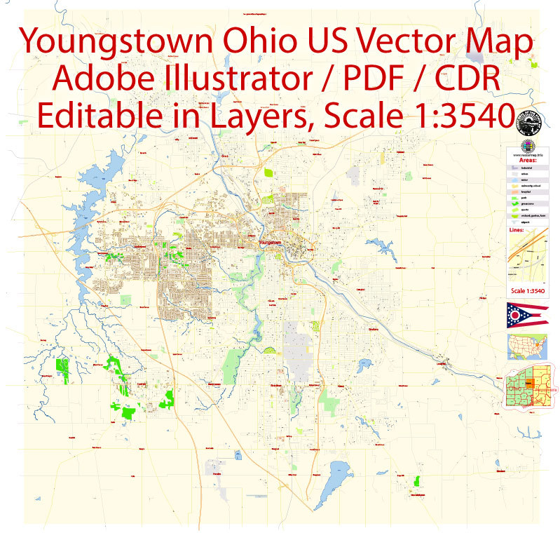
A general overview of Youngstown, Ohio. Please note that specific details may have changed since then, so it’s advisable to check more recent sources for the latest information.
Vectormap.Net provide you with the most accurate and up-to-date vector maps in Adobe Illustrator, PDF and other formats, designed for editing and printing. Please read the vector map descriptions carefully.
Here is a general description of the districts, communities, and main streets in Youngstown:
1. Downtown Youngstown:
- Description: Downtown Youngstown is the central business district and cultural hub of the city. It features a mix of historic and modern architecture, including notable buildings like the Mahoning County Courthouse. The area is home to various businesses, restaurants, and cultural institutions.
- Main Streets: Federal Street is one of the prominent streets in downtown Youngstown, hosting events and festivals. Boardman Street and Commerce Street are also important in this area.
2. North Side:
- Description: The North Side of Youngstown is a residential area with a mix of housing types, including historic homes and more modern developments. It has a diverse community and features parks and schools.
- Communities: Wick Park and Crandall Park are well-known neighborhoods on the North Side.
3. South Side:
- Description: The South Side of Youngstown is another residential area with a mix of housing options. It’s known for its community parks and recreational facilities.
- Communities: Brownlee Woods and Buckeye Plat are examples of neighborhoods on the South Side.
4. Brier Hill:
- Description: Brier Hill is known for its Italian-American heritage and historic significance. It has a distinct cultural identity and is home to several landmarks and community events.
- Main Streets: Calvin and Victoria Streets are notable in the Brier Hill area.
5. Boardman:
- Description: Boardman is a suburb located to the south of Youngstown. It’s a residential and commercial area with shopping centers, restaurants, and various amenities.
- Main Streets: Route 224 and Market Street are major thoroughfares in the Boardman area.
6. Austintown:
- Description: Austintown is another suburb situated to the west of Youngstown. It is known for its residential neighborhoods, schools, and recreational facilities.
- Main Streets: Mahoning Avenue is a significant road in Austintown.
7. Canfield:
- Description: Canfield is a neighboring city to the southwest of Youngstown. It is a historic community with a charming downtown area and a mix of residential and rural landscapes.
- Main Streets: Main Street in Canfield is a focal point, featuring shops, restaurants, and historic architecture.
These descriptions provide a general overview, and the city may have experienced changes or developments since my last update. If you are looking for the most current and detailed information, it’s recommended to check local sources or recent guides to Youngstown, Ohio.


 Author: Kirill Shrayber, Ph.D. FRGS