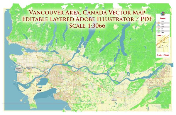
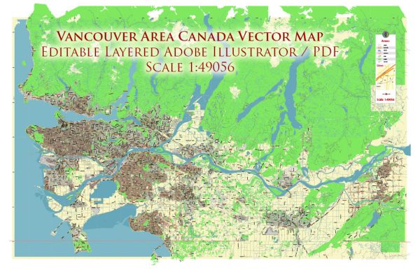
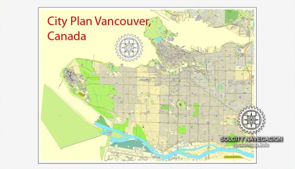
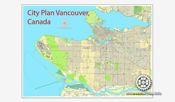
Vancouver, located on the southwest coast of Canada in the province of British Columbia, is a vibrant and diverse city known for its stunning natural surroundings, multicultural population, and thriving urban culture. The city is divided into several districts and neighborhoods, each with its own unique character and attractions.
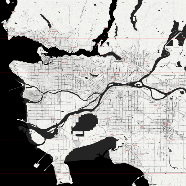
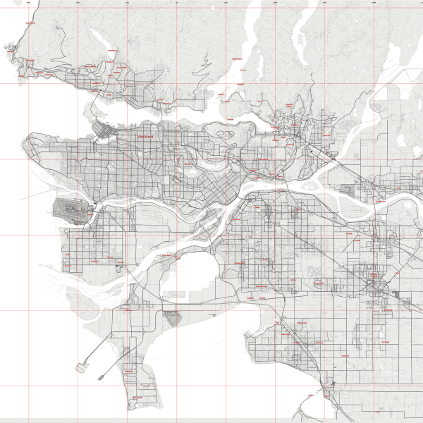
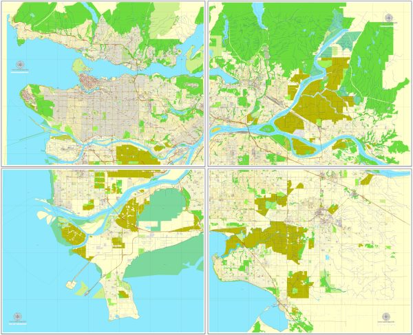
Vectormap.Net provide you with the most accurate and up-to-date vector maps in Adobe Illustrator, PDF and other formats, designed for editing and printing. Please read the vector map descriptions carefully.
Here’s a brief overview of some of the main districts, communities, and streets in Vancouver:
- Downtown Vancouver:
- Central Business District (CBD): This is the heart of Vancouver’s downtown, featuring tall skyscrapers, corporate offices, and financial institutions. It’s also home to popular shopping streets like Robson Street and Granville Street.
- Coal Harbour: A waterfront neighborhood with upscale residential buildings, Coal Harbour offers stunning views of the mountains, Stanley Park, and the harbor. It’s known for the Vancouver Convention Centre and the iconic Canada Place.
- Yaletown: Formerly an industrial area, Yaletown is now a trendy district filled with renovated warehouses, boutique shops, and upscale restaurants. It has a modern and cosmopolitan atmosphere.
- West End: Situated next to Stanley Park, the West End is a diverse and densely populated residential neighborhood with a mix of high-rise apartments and historic homes. Denman Street and Davie Street are popular streets in this area.
- West Side:
- Kitsilano (Kits): Known for its beaches, Kitsilano is a laid-back and youthful neighborhood. Kits Beach and West 4th Avenue are popular spots for shopping, dining, and outdoor activities.
- Point Grey: Home to the University of British Columbia (UBC), Point Grey is an affluent residential area with beautiful homes and scenic views. Wreck Beach, located near UBC, is known for its clothing-optional status.
- South Granville: This area is known for its art galleries, upscale boutiques, and fine dining. Granville Street, especially the stretch between 6th and 16th avenues, is a hub for art enthusiasts.
- East Side:
- Commercial Drive (The Drive): A diverse and bohemian neighborhood, Commercial Drive is known for its eclectic mix of shops, cafes, and cultural events. It has a strong Italian influence and hosts the annual Italian Day festival.
- Mount Pleasant: A trendy and artsy neighborhood, Mount Pleasant is home to artists’ studios, independent boutiques, and craft breweries. Main Street, running through Mount Pleasant, is a popular spot for shopping and dining.
- East Vancouver: This area comprises various neighborhoods, each with its own character. It is known for its mix of residential communities, parks, and local businesses.
- North Shore:
- North Vancouver: Connected to the city by the Lions Gate Bridge and the SeaBus, North Vancouver is known for its outdoor recreation opportunities, including Grouse Mountain, Capilano Suspension Bridge Park, and Lynn Canyon.
- West Vancouver: An affluent suburb with stunning waterfront properties, West Vancouver is known for its upscale neighborhoods, parks, and the scenic Ambleside Beach.
These descriptions provide a glimpse into the diverse neighborhoods and districts that make up Vancouver. Each area contributes to the city’s overall dynamic and multicultural identity.

 Author: Kirill Shrayber, Ph.D. FRGS