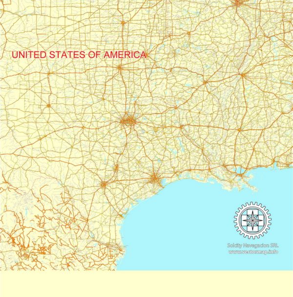
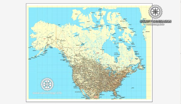
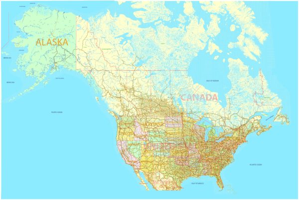
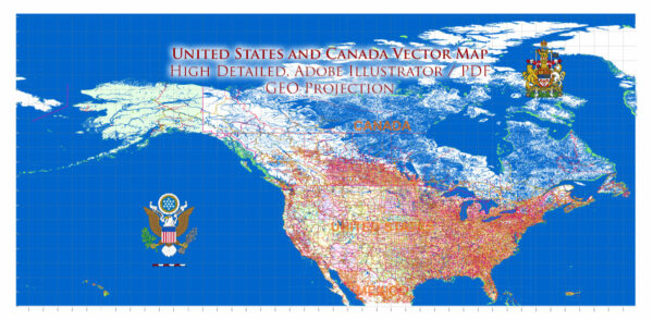
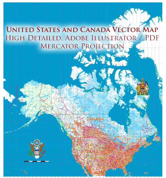
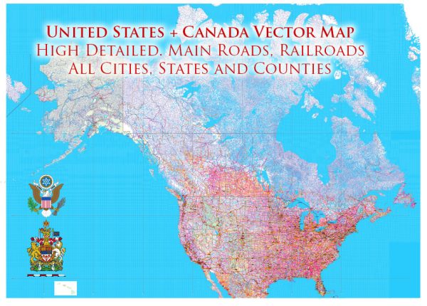
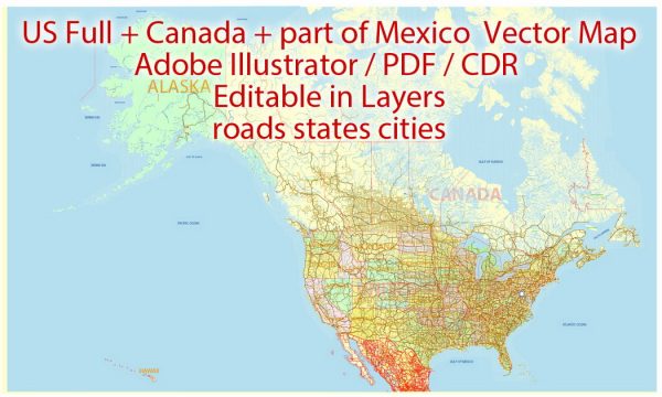
A detailed description of the some main cities, ports, and railroads in the United States and Canada would be an extensive task, given the vast geographical and infrastructural scope of these two countries.
Vectormap.Net provide you with the most accurate and up-to-date vector maps in Adobe Illustrator, PDF and other formats, designed for editing and printing. Please read the vector map descriptions carefully.
An overview of some key cities, major ports, and important railroads in both countries.
United States:
Main Cities:
- New York City, New York:
- Financial and cultural hub.
- Home to Wall Street, Broadway, and iconic landmarks like Times Square.
- Los Angeles, California:
- Entertainment capital of the world.
- Major center for the film and television industry.
- Chicago, Illinois:
- Transportation hub with a central location in the country.
- Known for its architecture and vibrant arts scene.
- Houston, Texas:
- Major hub for the energy industry, particularly oil and gas.
- Home to the NASA Johnson Space Center.
- Washington, D.C.:
- Capital of the United States.
- Houses important government institutions and national monuments.
Main Ports:
- Port of Los Angeles, California:
- Largest container port in the United States.
- Handles a significant portion of the country’s imports and exports.
- Port of New York and New Jersey:
- Busiest port on the East Coast.
- Strategic location for international trade.
- Port of Houston, Texas:
- Major gateway for U.S. oil and gas exports.
- Handles diverse cargo types.
- Port of Savannah, Georgia:
- One of the fastest-growing ports in the nation.
- Key hub for container shipping.
Railroads:
- Union Pacific Railroad:
- Largest railroad network in the United States.
- Connects the Western and Midwestern regions.
- BNSF Railway:
- One of the largest freight railroad networks.
- Operates across the western two-thirds of the country.
- CSX Transportation:
- Serves the Eastern United States.
- Important for transporting a variety of goods.
Canada:
Main Cities:
- Toronto, Ontario:
- Canada’s largest city.
- Financial and cultural center.
- Montreal, Quebec:
- Largest city in Quebec.
- Known for its diverse culture and vibrant arts scene.
- Vancouver, British Columbia:
- Major port city on the west coast.
- Surrounded by mountains and the Pacific Ocean.
- Calgary, Alberta:
- Economic hub in Alberta.
- Significant in the energy sector.
Main Ports:
- Port of Vancouver, British Columbia:
- Largest and most diversified port in Canada.
- Handles a wide range of cargo, including forestry and minerals.
- Port of Montreal, Quebec:
- Largest inland port in the world.
- Strategic for container and bulk cargo.
- Port of Halifax, Nova Scotia:
- Eastern Canada’s largest port.
- Key for container and general cargo.
Railroads:
- Canadian National Railway (CN):
- Largest railway in Canada.
- Connects major cities and ports across the country.
- Canadian Pacific Railway (CPR):
- Transcontinental railway.
- Important for transporting goods between the east and west coasts.
Please note that this is a high-level overview, and there are numerous other cities, ports, and railroads of significance throughout both the United States and Canada.

 Author: Kirill Shrayber, Ph.D. FRGS