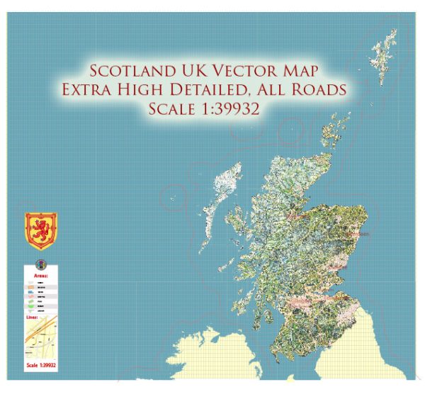
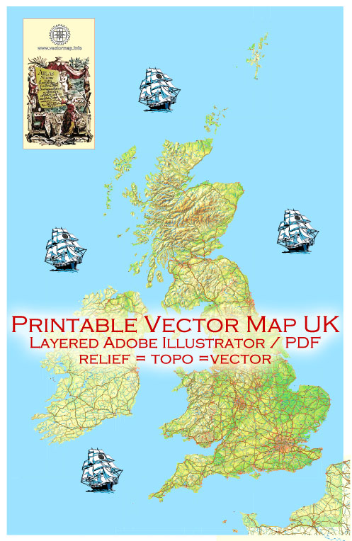
A detailed description of all the main cities and principal roads in England, Wales, Scotland, and Ireland, along with the road networks, would be an extensive task. A brief overview of some key cities and road systems in each country.
Vectormap.Net provide you with the most accurate and up-to-date vector maps in Adobe Illustrator, PDF and other formats, designed for editing and printing. Please read the vector map descriptions carefully.
England:
- London: The capital and largest city in England, known for landmarks such as the Tower of London, Buckingham Palace, and the British Museum.
- Manchester: A major city in the northwest, known for its industrial heritage and vibrant cultural scene.
- Birmingham: Located in the West Midlands, it is a major city with a rich history of manufacturing and commerce.
- Liverpool: Famous for its maritime history, the Beatles, and its historic waterfront.
- Leeds: In West Yorkshire, a financial and cultural hub in the north.
Road Networks in England:
- M1: Connects London to Leeds and the North.
- M6: Connects London to the Northwest and Scotland.
- M25: London’s orbital motorway.
Wales:
- Cardiff: The capital and largest city in Wales, known for Cardiff Castle and the Millennium Stadium.
- Swansea: A coastal city known for its maritime history and beautiful waterfront.
Road Networks in Wales:
- M4: Connects South Wales (Cardiff) to London and the West.
Scotland:
- Edinburgh: The capital, known for the historic Edinburgh Castle and the Royal Mile.
- Glasgow: The largest city in Scotland, known for its cultural scene and Victorian architecture.
- Aberdeen: Located in the northeast, known for its oil industry.
- Inverness: A city in the Scottish Highlands, often considered the gateway to the Highlands.
Road Networks in Scotland:
- M8: Connects Edinburgh and Glasgow.
- M9: Connects Edinburgh and Stirling.
Ireland:
- Dublin (Ireland): The capital, known for Trinity College, Dublin Castle, and the Guinness Storehouse.
- Belfast (Northern Ireland): The capital and largest city, known for the Titanic Belfast museum and political murals.
Road Networks in Ireland:
- M50 (Ireland): Dublin’s orbital motorway.
- M1 (Northern Ireland): Connects Belfast to the border with the Republic of Ireland.
Remember that these are just a few examples, and each country has many more cities and an extensive road network connecting them. If you have specific cities or roads in mind, feel free to ask for more details!


 Author: Kirill Shrayber, Ph.D. FRGS