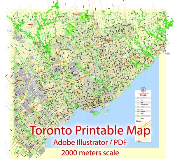
Toronto, Canada, is a vibrant and diverse city with numerous districts, communities, and main streets. The city is known for its multiculturalism, world-class attractions, and thriving neighborhoods.
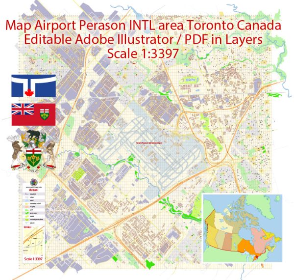
Vectormap.Net provide you with the most accurate and up-to-date vector maps in Adobe Illustrator, PDF and other formats, designed for editing and printing. Please read the vector map descriptions carefully.
Districts:
- Downtown Toronto:
- The heart of the city, characterized by high-rise buildings, corporate offices, and iconic landmarks.
- Financial District: Home to major financial institutions and skyscrapers.
- Entertainment District: A hub for theaters, restaurants, and nightlife, including the famous King Street West.
- St. Lawrence Market: A historic market area with fresh food vendors and unique shops.
- Midtown:
- An area north of downtown, featuring upscale residential neighborhoods and commercial districts.
- Yonge and Eglinton: A bustling intersection with shopping, dining, and entertainment options.
- Davisville Village: Residential neighborhood with parks and local businesses.
- West End:
- Trendy neighborhoods with diverse communities.
- Queen Street West: Known for its artsy vibe, boutique shops, and galleries.
- Parkdale: A mix of residential and commercial spaces, with a diverse population.
- East End:
- Leslieville: A hip and evolving area with a mix of historic and modern architecture, along with trendy shops and cafes.
- The Beaches: A waterfront neighborhood with a relaxed atmosphere, boardwalk, and sandy beaches.
- North York:
- A suburban area with residential communities, shopping centers, and parks.
- Yonge and Sheppard: A major intersection with high-rise buildings and commercial spaces.
- Yorkdale: Home to the Yorkdale Shopping Centre, one of the largest malls in Toronto.
- Scarborough:
- Located to the east, characterized by a mix of suburban and urban areas.
- Scarborough Town Centre: A major shopping destination and transportation hub.
- Scarborough Bluffs: A natural attraction offering stunning views of Lake Ontario.
Communities:
- Chinatown:
- Located downtown, offering a vibrant atmosphere, Asian markets, and authentic cuisine.
- Kensington Market:
- A bohemian neighborhood with eclectic shops, vintage boutiques, and diverse eateries.
- Little Italy:
- Along College Street, known for its Italian restaurants, cafes, and cultural events.
- Greektown (Danforth):
- A lively area with Greek restaurants, shops, and a strong sense of community.
Main Streets:
- Yonge Street:
- One of the longest streets in the world, running from Lake Ontario to the northern suburbs. It serves as a major commercial and cultural artery.
- Queen Street:
- Queen Street West is famous for its trendy shops, fashion boutiques, and art galleries.
- Bloor Street:
- A prominent east-west street featuring high-end shopping, cultural institutions, and upscale residential areas.
- King Street:
- Known for its theaters, restaurants, and the Entertainment District, it’s a central thoroughfare in downtown Toronto.
- Danforth Avenue:
- Running through Greektown, it’s a lively street with Greek restaurants, shops, and cultural events.
This overview provides a snapshot of Toronto’s diverse neighborhoods, and each area has its unique character and charm. Keep in mind that the city is dynamic, and new developments may have occurred since my last update.

 Author: Kirill Shrayber, Ph.D. FRGS