Taxonomy: Product Tags for this Vector Map
Extended Description of the Vector Map
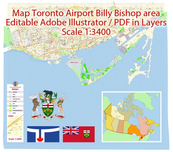
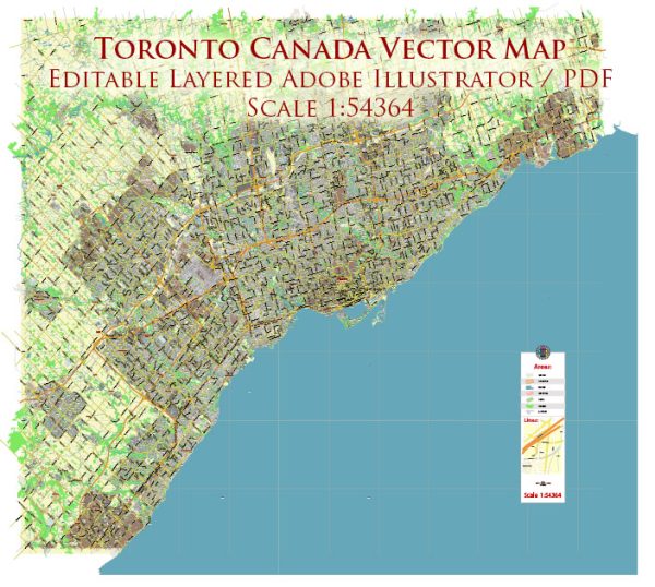
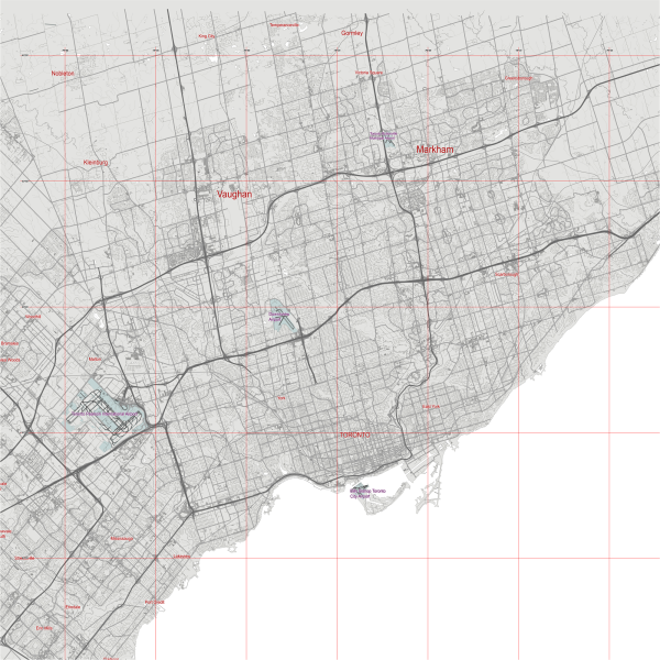
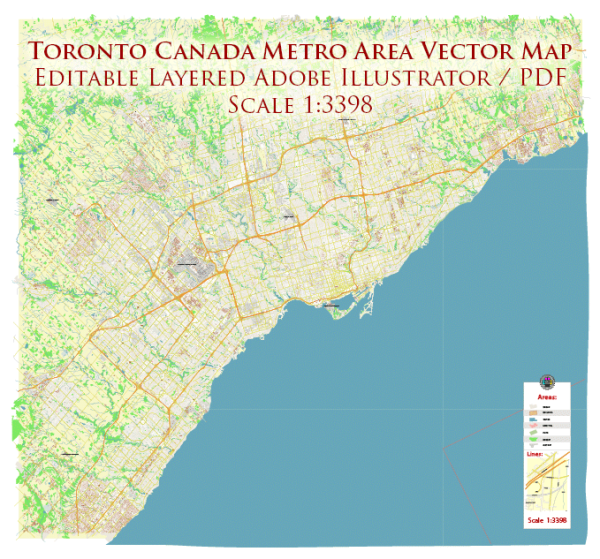
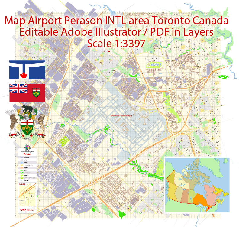
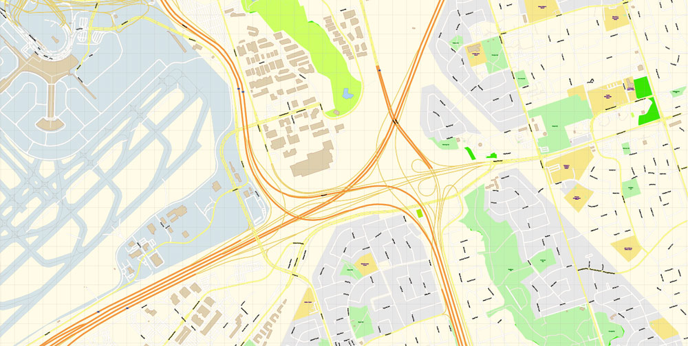
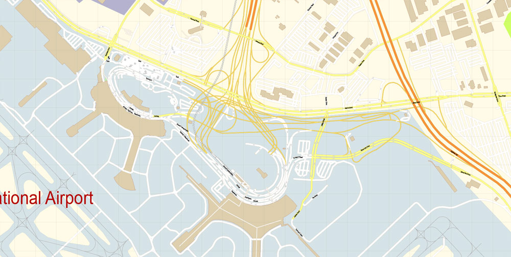
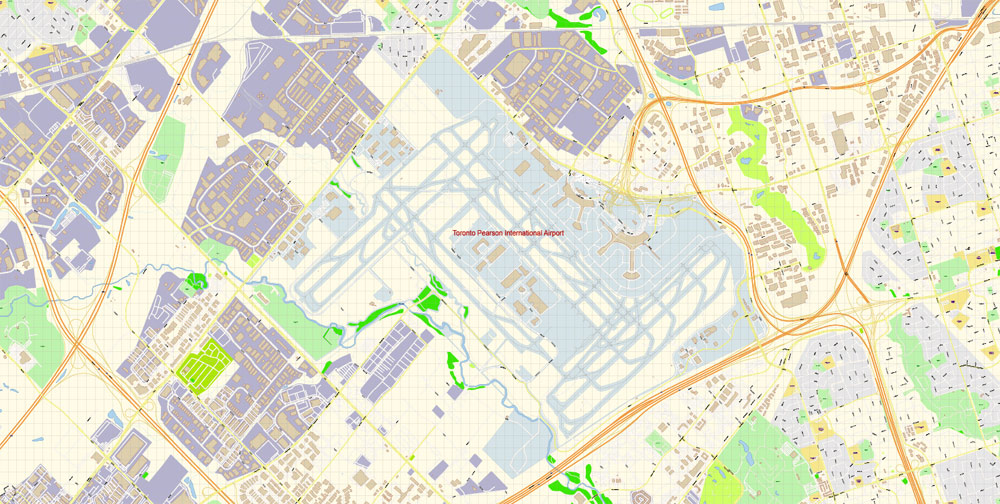
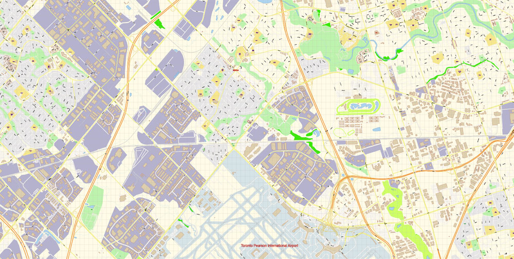
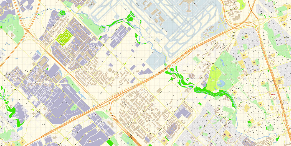
Toronto Pearson International Airport Area Vector Map exact printable City Plan editable layered Adobe Illustrator scale 1:3397 Street Map, scalable, text format all names, 4 Mb ZIP.
All streets names, buildings, main objects. Map for publishing, design, printing, publications, arts, projects, presentations, for architects, designers and builders, business, logistics. The most exact and detailed map of the city.
Separated layers: streets and roads, color fills, objects, road labels, street arrows, water, buildings, names, grids, legend etc.
For editing and high quality printing
DWG, DXF, CDR and other formats – by request, same price, please contact.
Here is a small guide to mass edit objects og one type https://vectormap.net/about/faqs/
Toronto Pearson International Airport (IATA: YYZ, ICAO: CYYZ) (often referred to as Toronto Pearson, Pearson Airport, or simply Pearson) is the primary international airport serving Toronto, its metropolitan area, and surrounding region known as the Golden Horseshoe in the province of Ontario, Canada. It is the largest and busiest airport in Canada, the second-busiest international air passenger gateway in the Americas, and the 30th-busiest airport in the world by passenger traffic, handling 47.1 million passengers in 2017. The airport is named in honour of Lester B. Pearson, Nobel Peace Prize laureate and 14th Prime Minister of Canada.
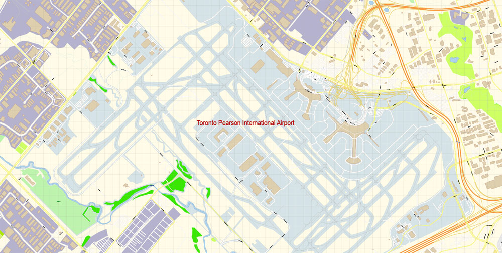
Toronto Pearson is located 22.5 kilometres (14.0 mi) northwest of Downtown Toronto, with the majority of the airport situated in the adjacent city of Mississauga, and a small portion of the airfield extending into Toronto’s western district of Etobicoke. It features five runways and two passenger terminals along with numerous cargo and maintenance facilities on a site that covers 18.67 square kilometres (7.2 sq mi).
Pearson Airport is the main hub for Air Canada. It also serves as a hub for WestJet and cargo airline FedEx Express, and as a base of operations for Air Transat and Sunwing Airlines. Pearson is operated by the Greater Toronto Airports Authority (GTAA) as part of Transport Canada’s National Airports System, and is one of eight airports in Canada with United States border preclearance.
An extensive network of non-stop domestic flights is operated from Pearson by several airlines to all major and many secondary cities across all provinces of Canada. As of 2018, over 75 airlines operate around 1,250 daily departures from Toronto Pearson to more than 180 destinations across all six of the world’s inhabited continents.
Free vector map World, Adobe Illustrator, download now maps vector clipart
Map for design, projects, presentation free to use as you like.
See also: TERMS & CONDITIONS: SOFTWARE LICENSE AGREEMENT FOR DIGITAL CARTOGRAPHIC DATA
 If you have any questions, please, feel free to contact us via WhatsApp +1.829.4100078
 We accept PayPal and all Debit or Credit Cards | Instantly Download Your Map after payment.
 Author: Kirill Shrayber, Ph.D.