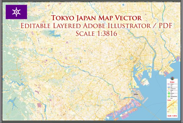
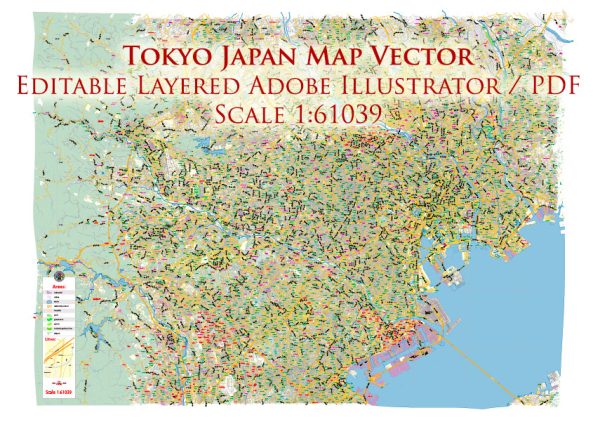
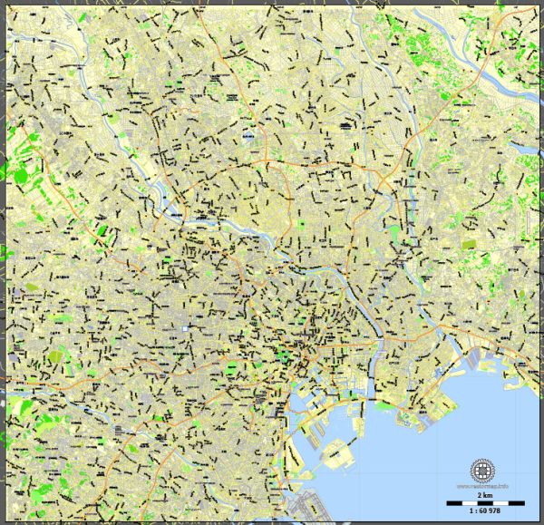
Tokyo, the capital city of Japan, is a vast and dynamic metropolis with a complex network of ports, main streets, and roads. The city is known for its modern infrastructure, efficient transportation systems, and a blend of traditional and contemporary architecture.
Vectormap.Net provide you with the most accurate and up-to-date vector maps in Adobe Illustrator, PDF and other formats, designed for editing and printing. Please read the vector map descriptions carefully.
Ports: Tokyo has several ports, with the most prominent being the Port of Tokyo. This port serves as a major gateway for international trade and is one of the largest seaports in Japan. It is located in Tokyo Bay and is crucial for the transportation of goods to and from the Tokyo metropolitan area. The port area includes container terminals, logistics facilities, and passenger terminals.
Main Streets and Roads: Tokyo has an extensive road network, consisting of main streets, expressways, and smaller roads that connect various neighborhoods and districts. Here are some key elements of Tokyo’s road infrastructure:
- Tokyo Expressways:
- The Shuto Expressway is a prominent network of toll expressways that encircles central Tokyo, connecting major urban areas. It includes iconic routes like the Metropolitan Expressway and the Bayshore Route.
- Major Streets:
- Ginza: Known for its upscale shopping and dining, Ginza is a district with wide streets lined with high-end boutiques and department stores.
- Shibuya Crossing: While not a street itself, Shibuya Crossing is one of the world’s busiest pedestrian crossings, surrounded by vibrant streets filled with shops, restaurants, and entertainment.
- Akihabara Electric Town:
- Famous for electronics and anime/manga culture, Akihabara’s streets are packed with electronics shops, gaming centers, and otaku-themed stores.
- Harajuku Takeshita Street:
- Located in the Harajuku district, Takeshita Street is a trendy and colorful shopping street known for its unique fashion boutiques and vibrant atmosphere.
- Omotesando Avenue:
- Often referred to as Tokyo’s Champs-Élysées, Omotesando Avenue is a tree-lined boulevard with high-end fashion stores, cafes, and luxury boutiques.
- Tokyo Station Marunouchi Area:
- The area around Tokyo Station is characterized by historical buildings, government offices, and financial institutions. Marunouchi is known for its business district with well-maintained streets.
- Meiji Avenue:
- Leading up to the Meiji Shrine, this avenue is a wide and pleasant street surrounded by trees, offering a serene approach to one of Tokyo’s most important Shinto shrines.
Tokyo’s roads are well-maintained, and the city’s public transportation system, including an extensive train and subway network, is a popular choice for commuting. Additionally, Tokyo is known for its orderly traffic, pedestrian-friendly streets, and efficient urban planning. Keep in mind that Tokyo is constantly evolving, and new developments may have occurred since my last update.


 Author: Kirill Shrayber, Ph.D. FRGS