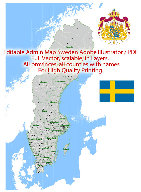
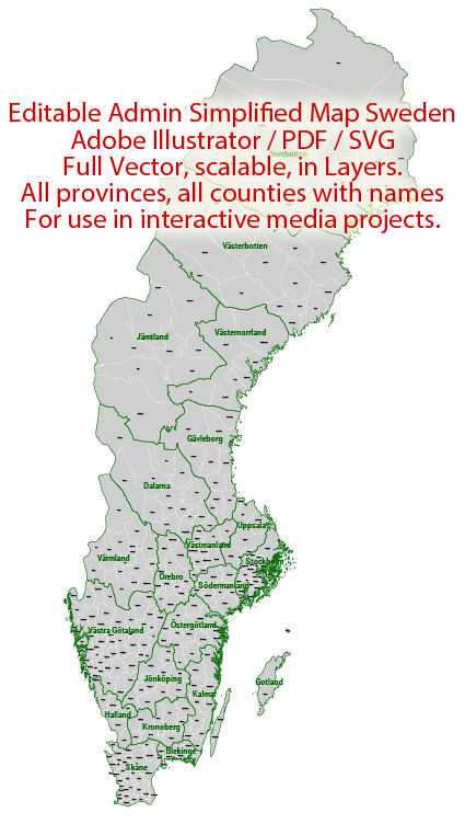
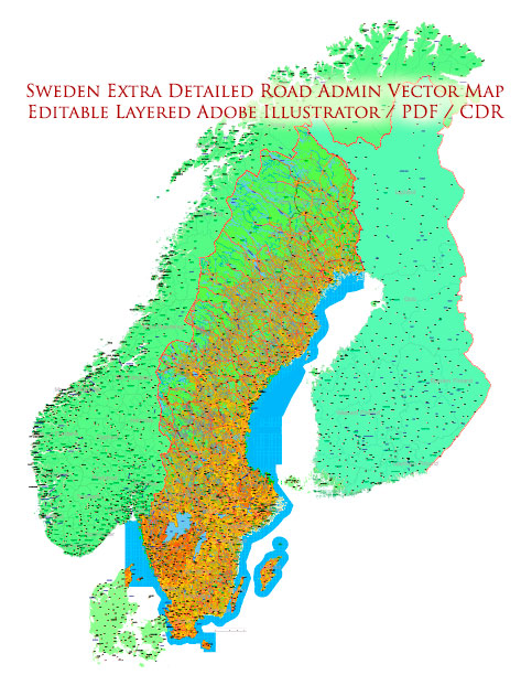
Sweden is a country located in Northern Europe and is known for its beautiful landscapes, vibrant cities, and well-developed infrastructure.
Vectormap.Net provide you with the most accurate and up-to-date vector maps in Adobe Illustrator, PDF and other formats, designed for editing and printing. Please read the vector map descriptions carefully.
Here is a detailed description of some of the main cities, ports, towns, and principal roads in Sweden:
Cities:
- Stockholm:
- Description: The capital and largest city of Sweden, situated on a series of islands connected by bridges. Stockholm is known for its historic architecture, cultural attractions, and a vibrant nightlife. Major landmarks include the Royal Palace, Gamla Stan (Old Town), and the Vasa Museum.
- Gothenburg (Göteborg):
- Description: Located on the west coast, Gothenburg is the second-largest city. It’s a major port city with a strong maritime history. The Liseberg amusement park and the Universeum Science Center are popular attractions.
- Malmö:
- Description: Situated in the southern part of Sweden, Malmö is a modern city connected to Copenhagen in Denmark by the Öresund Bridge. It has a diverse cultural scene, with the Turning Torso skyscraper as a prominent landmark.
- Uppsala:
- Description: A historic city in central Sweden, Uppsala is known for its medieval cathedral, Uppsala University, and the Gustavianum museum. It’s one of the oldest cities in Sweden.
- Linköping:
- Description: Located in the southeast, Linköping is an important center for technology and education. It hosts the Linköping University and is known for its high-tech industry.
Ports:
- Port of Gothenburg:
- Description: The largest port in Sweden, handling a significant portion of the country’s imports and exports. It is a key gateway for international trade.
- Port of Stockholm:
- Description: One of the major ports in the Baltic Sea region, facilitating trade and transportation. It includes several terminals for cargo and passenger ships.
- Port of Malmö:
- Description: An important seaport in the south, connecting Sweden to continental Europe. It has both cargo and passenger terminals.
Towns:
- Lund:
- Description: A charming town with a rich history, home to Lund University. The Lund Cathedral and the Lund Botanical Gardens are notable attractions.
- Visby:
- Description: Located on the island of Gotland, Visby is a medieval town with well-preserved city walls and cobblestone streets. It’s a UNESCO World Heritage site.
- Kiruna:
- Description: Located in the far north, Kiruna is known for its iron ore mine and the unique Icehotel. It’s one of the northernmost towns in Sweden.
Principal Roads:
- E4:
- Description: A major north-south highway that connects Helsingborg in the south to Luleå in the north, passing through Stockholm.
- E6:
- Description: Running from Trelleborg in the south through Gothenburg to the Norwegian border in the northwest, E6 is a crucial highway for both domestic and international transportation.
- E18:
- Description: Connecting Norrköping in the east to the Norwegian border in the west, E18 is an important east-west route.
- E20:
- Description: Stretching from the west coast in Gothenburg to the eastern town of Kapellskär, E20 is a key route connecting the major cities.
These descriptions provide a broad overview, and each city, port, town, and road mentioned has its own unique characteristics and significance in Sweden’s geography, history, and economy.


 Author: Kirill Shrayber, Ph.D. FRGS