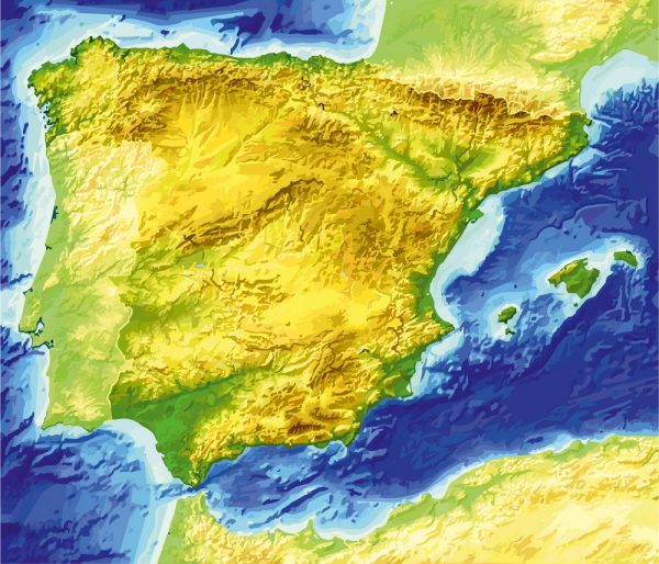
Spain is a diverse country with a rich history and a variety of landscapes.
Vectormap.Net provide you with the most accurate and up-to-date vector maps in Adobe Illustrator, PDF and other formats, designed for editing and printing. Please read the vector map descriptions carefully.
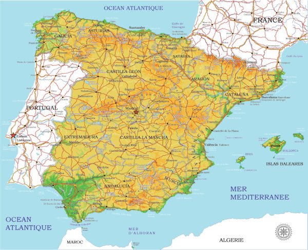
Here is a detailed overview of some of its main cities, ports, towns, and principal roads:
Main Cities:
- Madrid:
- Capital and largest city of Spain.
- Located in the center of the country.
- Known for its cultural and artistic heritage, including the Prado Museum and Royal Palace.
- Major financial and political center.
- Barcelona:
- Capital of Catalonia, in the northeastern part of Spain.
- Famous for its unique architecture, particularly the works of Antoni Gaudí like Sagrada Familia and Park Güell.
- A major cultural and economic hub.
- Seville:
- Capital of Andalusia, in the southern part of Spain.
- Known for its historic Moorish architecture, including the Alcazar and Giralda Tower.
- Hosts the annual Feria de Abril, a popular festival.
- Valencia:
- Located on the eastern coast of Spain.
- Known for its futuristic City of Arts and Sciences and the traditional La Tomatina festival.
- A significant port city.
- Zaragoza:
- Located in northeastern Spain.
- Historic city with landmarks like the Basilica del Pilar.
- A key transportation hub.
- Bilbao:
- In the Basque Country, in the northern part of Spain.
- Famous for the Guggenheim Museum and its revitalized waterfront.
- Historically an industrial and port city.
Ports:
- Port of Barcelona:
- One of the busiest ports in the Mediterranean.
- Key hub for trade and cruise ships.
- Port of Valencia:
- Another major Mediterranean port.
- Handles container traffic and is an important gateway for goods.
- Port of Bilbao:
- Located on the Bay of Biscay.
- A significant industrial and commercial port.
- Port of Algeciras:
- In the Strait of Gibraltar, one of the largest ports in Europe.
- A crucial transshipment point for goods entering and leaving the Mediterranean.
Towns:
- Toledo:
- Historic town known for its medieval architecture.
- Former capital of the Spanish Empire.
- Granada:
- Famous for the Alhambra, a stunning Moorish palace and fortress.
- Located in Andalusia.
- Salamanca:
- Home to one of the oldest universities in Europe.
- Known for its well-preserved historic center.
Principal Roads:
- Autovía A-1:
- Connects Madrid to the French border, passing through cities like Burgos.
- Autovía A-2:
- Links Madrid to Barcelona, passing through Zaragoza.
- Autovía A-3:
- Connects Madrid to Valencia.
- Autopista AP-7:
- A major toll highway along the eastern coast, connecting Barcelona to Valencia and beyond.
- Autovía A-4:
- Connects Madrid to Seville, passing through cities like Cordoba.
These descriptions provide just a glimpse into the diverse and culturally rich cities, ports, towns, and roads in Spain. Each region has its own unique character and attractions, making Spain a fascinating country to explore.

 Author: Kirill Shrayber, Ph.D. FRGS