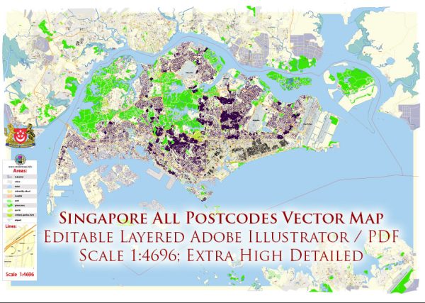
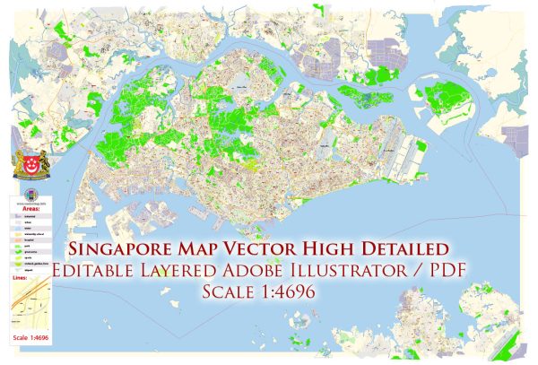
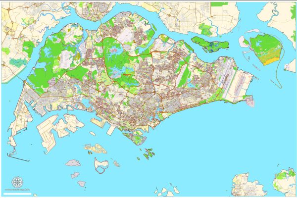
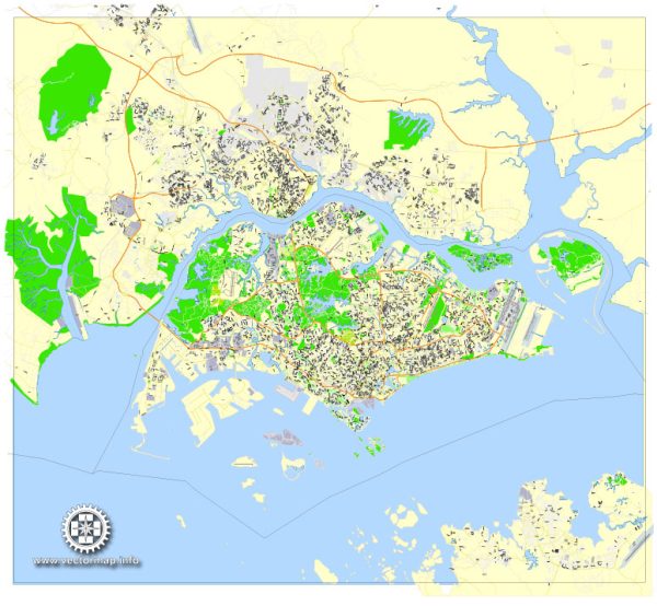
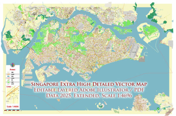
Singapore is a sovereign city-state and island country located in Southeast Asia. A general overview of some key features of Singapore’s ports, main streets, and roads.
Vectormap.Net provide you with the most accurate and up-to-date vector maps in Adobe Illustrator, PDF and other formats, designed for editing and printing. Please read the vector map descriptions carefully.
- Port of Singapore:
- The Port of Singapore is one of the busiest and most important maritime hubs in the world.
- It is situated on the southern tip of the Malay Peninsula and is strategically positioned along the major shipping routes.
- The port is divided into various terminals, each specializing in different types of cargo, including container terminals, bulk cargo terminals, and oil terminals.
- Key container terminals include the Tanjong Pagar Terminal, Keppel Container Terminal, and Pasir Panjang Terminal.
- Main Streets and Roads:
- Orchard Road:
- Orchard Road is a famous shopping street in Singapore, known for its upscale shopping malls, department stores, and entertainment options.
- It is a major tourist attraction and a popular destination for locals and visitors alike.
- Shenton Way:
- Shenton Way is a significant road in the Central Business District (CBD) of Singapore.
- It is lined with skyscrapers and is the financial heart of the city, housing many banks, financial institutions, and corporate offices.
- Marina Bay Sands Boulevard:
- Located around the iconic Marina Bay Sands resort, this boulevard offers stunning views of the city skyline.
- It is a vibrant area with shopping, dining, and entertainment options.
- East Coast Parkway (ECP):
- ECP is a major expressway connecting the eastern part of Singapore to the city center.
- It runs along the scenic East Coast Park and provides access to various recreational areas and beaches.
- Ayer Rajah Expressway (AYE) and Central Expressway (CTE):
- AYE and CTE are important expressways that facilitate traffic flow across different parts of the island, connecting residential areas, industrial zones, and commercial districts.
- Nicoll Highway:
- Nicoll Highway runs along the eastern part of the city, providing access to key areas such as the Singapore Sports Hub and the Suntec City Convention Centre.
- Changi Airport Connector:
- Connecting Changi Airport to the city, the Changi Airport Connector is a cycling and jogging path that offers a scenic route through parks and green spaces.
- Serangoon Road:
- Serangoon Road is a major road in Little India, known for its vibrant atmosphere, colorful shops, and cultural landmarks.
- Orchard Road:
These are just a few examples, and Singapore’s road network is extensive and well-developed, contributing to the efficiency of transportation across the island.

 Author: Kirill Shrayber, Ph.D. FRGS