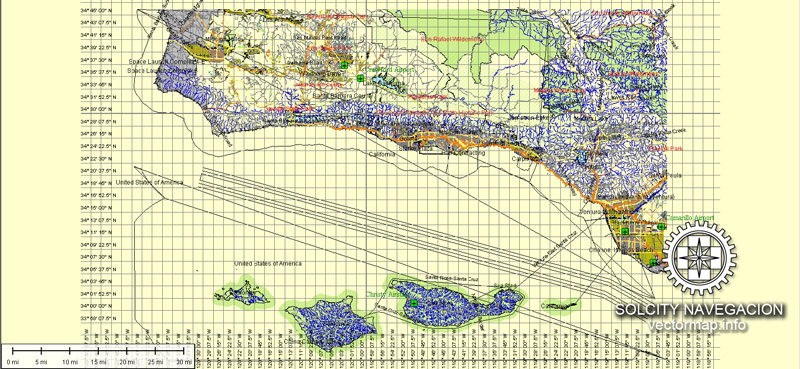
Santa Barbara, California, is a picturesque city known for its Mediterranean-style architecture, beautiful beaches, and stunning mountain backdrop. The city is located on the central coast of California and has a well-defined street system, distinct neighborhoods, and vibrant communities.
Vectormap.Net provide you with the most accurate and up-to-date vector maps in Adobe Illustrator, PDF and other formats, designed for editing and printing. Please read the vector map descriptions carefully.
Districts and Neighborhoods:
- Downtown Santa Barbara: This area is the heart of the city, characterized by State Street, which runs through the center and is lined with shops, restaurants, and cultural attractions. The historic Presidio district, with its Spanish colonial architecture, is also located here.
- The Funk Zone: A trendy and artsy district near the waterfront, known for its murals, galleries, and unique shops. It has a vibrant, creative atmosphere and is a popular spot for locals and visitors alike.
- Upper East Side: This residential neighborhood is known for its historic homes, tree-lined streets, and proximity to the Santa Barbara Mission. It’s a quiet and upscale area.
- Westside: Located west of downtown, this neighborhood has a mix of residential and commercial areas. It offers a diverse community with a variety of housing options.
- Montecito: A wealthy and exclusive enclave located just south of Santa Barbara, Montecito is known for its luxurious estates, celebrity residents, and beautiful landscapes.
- Goleta: Situated to the west of Santa Barbara, Goleta is a more suburban area with a mix of residential, commercial, and industrial zones. It’s home to the University of California, Santa Barbara (UCSB).
Street System:
- State Street: The main thoroughfare running through downtown Santa Barbara, lined with shops, restaurants, and businesses. It extends from the waterfront to the Upper East Side.
- Cabrillo Boulevard: This scenic road runs along the waterfront, offering views of the Pacific Ocean. It’s a popular route for walking, jogging, and biking.
- Highway 101: The primary north-south highway connecting Santa Barbara to other parts of California. It runs parallel to the coast and provides access to neighboring communities.
- Milpas Street: Located east of downtown, Milpas Street is known for its diverse mix of shops, markets, and restaurants, offering a more local experience.
- Mission Street: Running near the Santa Barbara Mission, this street is surrounded by historic homes and landmarks, providing a glimpse into the city’s past.
These descriptions provide a broad overview, but Santa Barbara is a city with many unique neighborhoods and streets, each offering its own charm and character. The city’s layout is influenced by its history, geography, and the preferences of its residents.


 Author: Kirill Shrayber, Ph.D. FRGS