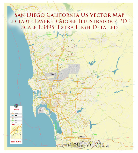
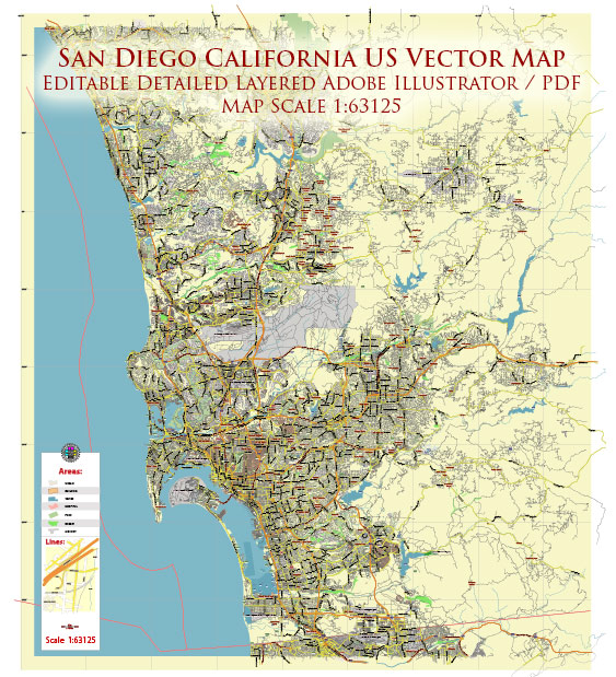
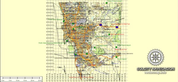
A general overview of the port, main streets, and roads in San Diego, California.
Vectormap.Net provide you with the most accurate and up-to-date vector maps in Adobe Illustrator, PDF and other formats, designed for editing and printing. Please read the vector map descriptions carefully.
Port of San Diego:
The Port of San Diego is a significant maritime port on the west coast of the United States. It consists of several individual terminals and facilities along the San Diego Bay. Some of the key areas include:
- Downtown San Diego: The port is closely integrated with downtown San Diego, making it a crucial part of the city’s economic and cultural life.
- Embarcadero: This is a waterfront area along San Diego Bay, featuring parks, walkways, and various attractions. The Port Pavilion on Broadway Pier is a notable structure here.
Main Streets in San Diego:
- Broadway: Broadway is one of the major east-west streets in downtown San Diego. It is home to various businesses, theaters, and cultural institutions.
- Harbor Drive: Running parallel to the waterfront, Harbor Drive provides access to many key attractions along the bay, including the San Diego Convention Center.
- Market Street: Another important east-west thoroughfare, Market Street runs through downtown San Diego and connects various neighborhoods.
Roads and Highways:
- Interstate 5 (I-5): This major north-south interstate highway runs through San Diego and connects the city to other parts of California, including Los Angeles to the north and Mexico to the south.
- Interstate 8 (I-8): Running east-west, I-8 connects San Diego to the eastern parts of the county and beyond.
- State Route 163 (SR-163): This highway runs north-south, providing access to areas like Balboa Park and connects with I-8 and I-5.
- State Route 94 (SR-94): An east-west highway, SR-94 connects downtown San Diego with the eastern neighborhoods and communities.
Notable Neighborhoods:
- Downtown San Diego: The central business district with a mix of residential, commercial, and cultural attractions.
- Gaslamp Quarter: Known for its historic architecture, entertainment, and dining options.
- Old Town: Considered the birthplace of California, Old Town has historic buildings and a vibrant atmosphere.
- Balboa Park: A large urban park containing museums, gardens, and the San Diego Zoo.
Please verify this information with more recent sources, as there may have been changes or developments in the city’s infrastructure and urban planning since my last update.


 Author: Kirill Shrayber, Ph.D. FRGS