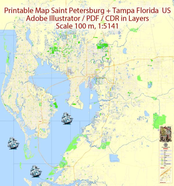
A general overview of the ports, main streets, and roads in the Saint Petersburg and Tampa areas in Florida, USA.
Vectormap.Net provide you with the most accurate and up-to-date vector maps in Adobe Illustrator, PDF and other formats, designed for editing and printing. Please read the vector map descriptions carefully.
Tampa:
- Port of Tampa:
- The Port of Tampa is one of the largest and most diversified ports in Florida, handling a wide range of cargo including bulk, containerized, and general cargo.
- Channels: The port is located along the Tampa Bay and has multiple channels for navigation, including the main shipping channel leading to the Gulf of Mexico.
- Terminals: The port has various terminals, including cargo terminals, container terminals, and cruise terminals.
- Main Streets and Roads:
- Channelside Drive: This is a waterfront street in downtown Tampa, known for its entertainment venues, restaurants, and proximity to the cruise terminals.
- Kennedy Boulevard: A major east-west thoroughfare, Kennedy Boulevard runs through downtown Tampa, connecting it to the Westshore business district and beyond.
- Interstate 275 (I-275): This interstate highway serves the Tampa Bay area, connecting Tampa to St. Petersburg and other parts of the region.
Saint Petersburg:
- Port of Saint Petersburg:
- While Saint Petersburg is not primarily known for a major cargo port, it has a marina and facilities for recreational boating and smaller vessels.
- The city’s waterfront area along Tampa Bay features several marinas and yacht clubs catering to the local boating community.
- Main Streets and Roads:
- Central Avenue: One of the main east-west thoroughfares in downtown St. Petersburg, Central Avenue is lined with shops, restaurants, and cultural institutions.
- Beach Drive: This scenic street runs along the waterfront and is home to upscale shops, galleries, and restaurants, making it a popular destination for locals and tourists alike.
- Interstate 275 (I-275): This interstate highway connects St. Petersburg to Tampa and other parts of the Tampa Bay area.
Connecting Roads:
- Howard Frankland Bridge: Spanning Old Tampa Bay, this bridge connects Tampa and St. Petersburg along Interstate 275.
- Gandy Bridge: Another important bridge connecting Tampa and St. Petersburg, it spans the waters of Tampa Bay.
Both cities are well-connected by a network of roads, including local streets and interstate highways, facilitating the movement of people and goods between them. The Tampa Bay area as a whole is known for its bridges, causeways, and scenic waterfront drives.


 Author: Kirill Shrayber, Ph.D. FRGS