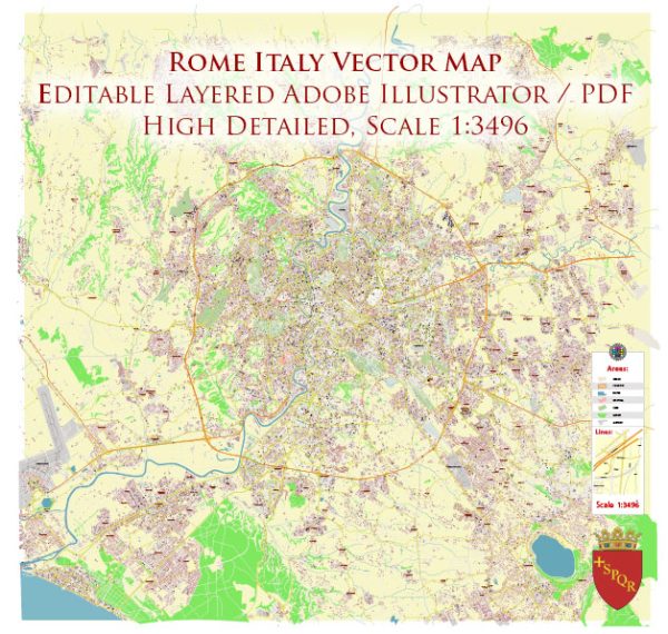
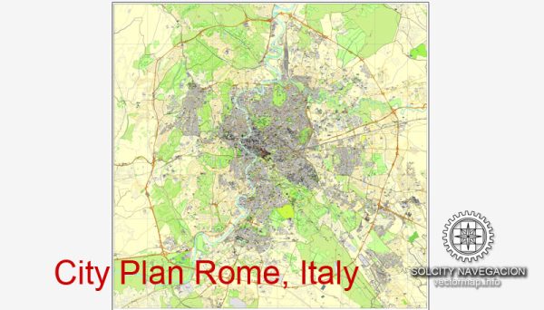
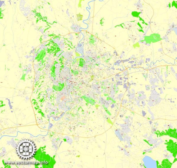
Rome, the capital city of Italy, is a vast and historically rich metropolis with a complex and layered urban structure. The city is divided into several districts, each with its own unique character and history. The neighborhoods and streets within these districts contribute to the overall charm and diversity of Rome.
Vectormap.Net provide you with the most accurate and up-to-date vector maps in Adobe Illustrator, PDF and other formats, designed for editing and printing. Please read the vector map descriptions carefully.
- Historical Center (Centro Storico):
- This district is the heart of Rome and encompasses many of the city’s iconic landmarks, including the Colosseum, Roman Forum, and Pantheon. The streets are narrow and winding, revealing layers of history at every turn. Piazzas such as Piazza Navona and Campo de’ Fiori are vibrant hubs for socializing.
- Trastevere:
- Across the Tiber River, Trastevere is known for its bohemian atmosphere and narrow cobblestone streets. Characterized by colorful buildings and a lively nightlife, this area is a favorite among locals and tourists alike.
- Vatican City:
- An independent city-state surrounded by Rome, Vatican City is the headquarters of the Roman Catholic Church and home to St. Peter’s Basilica and the Vatican Museums. The area is rich in religious and artistic significance.
- Testaccio:
- Traditionally a working-class neighborhood, Testaccio has transformed into a trendy area known for its food scene and vibrant markets. The district is also home to the Monte Testaccio, an artificial hill made of ancient Roman pottery shards.
- Esquilino:
- This district is home to the Termini Train Station and is known for its multicultural atmosphere. The Esquilino Market and the Basilica di Santa Maria Maggiore are notable landmarks in this area.
- Monti:
- Adjacent to the Colosseum, Monti is a charming neighborhood with a mix of boutiques, cafes, and art galleries. The area maintains a local feel despite its proximity to major tourist attractions.
- Aventino:
- Aventino is one of the Seven Hills of Rome and offers a more residential atmosphere. The Aventine Keyhole, with a stunning view of St. Peter’s Basilica through a keyhole in a green door, is a famous attraction.
- Parioli:
- A more upscale residential area, Parioli is known for its elegant villas and green spaces. The district is a quieter retreat from the bustling city center.
- Ostia:
- Ostia is located near the coast and is known for the ancient archaeological site of Ostia Antica. It also has a popular beach area, making it a getaway destination for Romans.
As for street systems, Rome’s layout is a mix of narrow, winding medieval streets in the historic center and broader, more organized avenues in the modern parts of the city. Major streets, such as Via del Corso, connect key landmarks, while smaller alleys offer a more intimate exploration of the city’s history and culture. Rome’s street plan is a testament to its long and evolving history, with layers of architecture and urban development reflecting different periods and influences.

 Author: Kirill Shrayber, Ph.D. FRGS