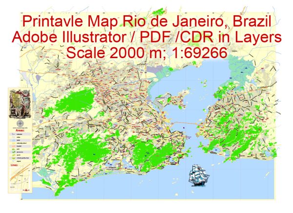
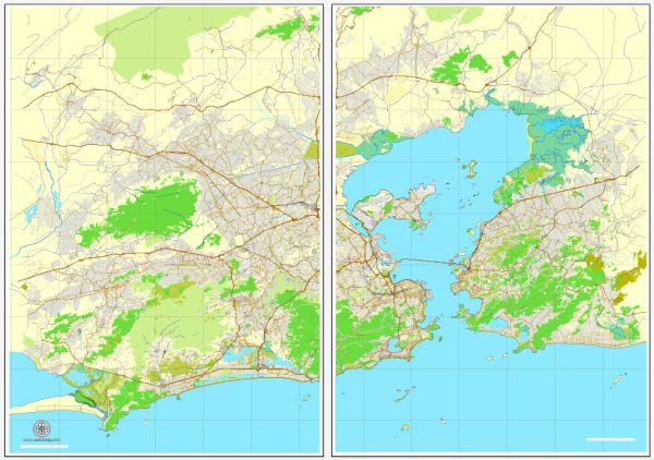
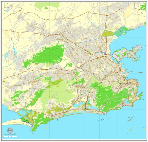
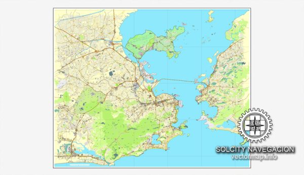
A general overview of the transportation and port infrastructure in Rio de Janeiro, Brazil.
Vectormap.Net provide you with the most accurate and up-to-date vector maps in Adobe Illustrator, PDF and other formats, designed for editing and printing. Please read the vector map descriptions carefully.
Transportation Infrastructure:
1. Road Network:
Rio de Janeiro has an extensive road network that includes highways and local roads connecting the city with other parts of Brazil. Major highways, such as BR-101 and BR-116, play a crucial role in facilitating transportation within the region.
2. Public Transportation:
- Metro: Rio de Janeiro has a metro system that serves various parts of the city. As of my last update, Line 1 (Orange Line) and Line 2 (Green Line) were operational.
- Buses: The city has an extensive bus network that covers both the urban and suburban areas, providing a vital means of public transportation.
3. Airports:
- Galeão International Airport (Aeroporto Internacional Tom Jobim – GIG): This is the main international airport serving Rio de Janeiro. It handles both domestic and international flights.
- Santos Dumont Airport (Aeroporto Santos Dumont – SDU): Located closer to the city center, Santos Dumont primarily serves domestic flights.
4. Port and Harbor:
- Port of Rio de Janeiro: The Port of Rio de Janeiro is a major maritime gateway, handling a significant portion of the country’s imports and exports. It is one of the busiest ports in Brazil and plays a crucial role in the economic activities of the region.
Port Infrastructure:
1. Port Facilities:
- The Port of Rio de Janeiro is equipped with various terminals specialized in handling different types of cargo, including containers, liquid bulk, and dry bulk.
- The terminals are equipped with modern infrastructure and handling equipment to facilitate efficient cargo operations.
2. Cargo Handling:
- Container Terminals: Rio de Janeiro has container terminals with advanced container handling facilities to manage the flow of goods efficiently.
- Bulk Terminals: Specialized terminals handle bulk cargo, such as grains, ores, and liquids.
3. Accessibility:
- The port is strategically located, providing easy access to major road networks and rail connections, facilitating the transportation of goods to and from the port.
4. Expansion and Modernization:
- Ongoing efforts may include projects aimed at expanding and modernizing port facilities to accommodate the growing demand for maritime trade.


 Author: Kirill Shrayber, Ph.D. FRGS