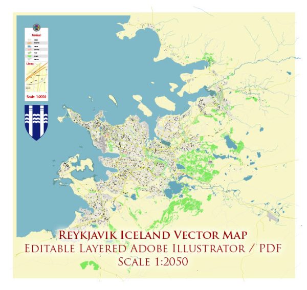
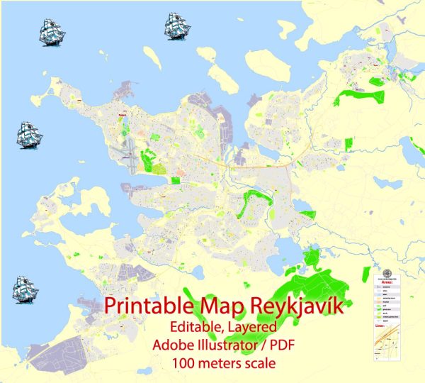
Reykjavik, the capital and largest city of Iceland, has a rich history and a well-developed transportation infrastructure.
Vectormap.Net provide you with the most accurate and up-to-date vector maps in Adobe Illustrator, PDF and other formats, designed for editing and printing. Please read the vector map descriptions carefully.
Here’s a detailed overview of its history, port, and transportation system:
History:
Settlement and Early History:
- Reykjavik’s history dates back to the settlement of Iceland in the 9th century by Norse explorers, primarily led by Ingólfur Arnarson, who is considered the city’s founder.
- The area around Reykjavik was chosen for its natural harbor, hot springs, and fertile land.
- For centuries, Reykjavik remained a small fishing village with intermittent growth and development.
18th-19th Century:
- Reykjavik became the capital of Iceland in 1845, during Danish rule.
- The 19th century saw the city slowly expanding, with the establishment of institutions such as Alþingi (the Icelandic Parliament) and the University of Iceland.
- The city’s growth was relatively slow compared to other European capitals.
20th Century:
- Iceland gained independence from Denmark in 1944, and Reykjavik continued to grow as the political, economic, and cultural center of the country.
- The city underwent rapid urbanization and modernization in the latter half of the 20th century.
Contemporary Period:
- Today, Reykjavik is a vibrant and modern city, known for its cultural scene, geothermal hot springs, and proximity to natural wonders like the Northern Lights.
Port:
- Location and Importance:
- Reykjavik’s port, known as Sundahöfn, is situated on the Faxaflói Bay, providing a strategic location for maritime trade.
- The port is essential for the import and export of goods, as well as for the fishing industry, which is a significant part of Iceland’s economy.
- Facilities:
- Sundahöfn is equipped with modern facilities, including container handling and general cargo terminals.
- It accommodates both passenger and cargo ships.
- Economic Impact:
- The port plays a crucial role in supporting Iceland’s economy by facilitating trade and transportation.
Transportation Infrastructure:
Road Network:
- Reykjavik has a well-maintained road network, connecting the city with other parts of Iceland.
- The Ring Road (Route 1) is a major highway that circumnavigates the island and passes through Reykjavik.
Public Transportation:
- The city has a public bus system operated by Strætó bs. It serves the greater Reykjavik area and neighboring towns.
- Public transportation is an important component of the city’s efforts to reduce traffic congestion and promote sustainability.
Airport:
- Reykjavik is served by Keflavik International Airport (KEF), located about 50 kilometers southwest of the city.
- Keflavik Airport is the primary international gateway to Iceland, handling both domestic and international flights.
Future Developments:
- Reykjavik continues to invest in its transportation infrastructure, with plans for further development of roads, public transportation, and potentially expanding the airport’s capacity.
In summary, Reykjavik has a fascinating history, a strategic port that supports the nation’s economy, and a well-developed transportation infrastructure that connects the city to the rest of Iceland and the world. The city’s growth and modernization over the years reflect its importance as the capital and cultural hub of Iceland.


 Author: Kirill Shrayber, Ph.D. FRGS