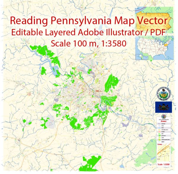
Some general information about the road and street infrastructure in Reading, Pennsylvania.
Vectormap.Net provide you with the most accurate and up-to-date vector maps in Adobe Illustrator, PDF and other formats, designed for editing and printing. Please read the vector map descriptions carefully.
Reading is a city located in Berks County, Pennsylvania, and it serves as the county seat. The city is known for its historical significance and diverse community.
Here are some key aspects of the road and street infrastructure in Reading:
- Street Grid:
- Reading has a grid-like street layout, which is common in many older cities. The downtown area often features narrow streets with historic architecture.
- Penn Street is a major east-west thoroughfare that runs through the heart of the city.
- Major Highways:
- Reading is accessible by several major highways. Interstate 176 (I-176) connects the city to the Interstate 76 (I-76) Pennsylvania Turnpike to the south.
- U.S. Route 422 provides east-west connectivity and passes through the city.
- Public Transportation:
- Reading has a public transportation system, primarily served by the Berks Area Regional Transportation Authority (BARTA). Buses operate on various routes throughout the city and surrounding areas.
- Bridges:
- Due to its location along the Schuylkill River, Reading is connected by several bridges. The Bingaman Street Bridge and Penn Street Bridge are notable examples.
- Historic Districts:
- Some neighborhoods in Reading, especially in the downtown area, feature historic districts with unique architecture. These areas may have narrow, cobblestone streets.
- Pedestrian and Biking Infrastructure:
- The city may have sidewalks and dedicated bike lanes in certain areas, promoting pedestrian and cyclist safety.
- Traffic Conditions:
- Like many urban areas, Reading experiences traffic congestion during peak hours, particularly on major roads and highways.
- Development Projects:
- Over the years, there may have been infrastructure development projects aimed at improving roadways, bridges, and public transportation.
To get the most current and detailed information about Reading’s road and street infrastructure, including any recent developments or changes, it’s recommended to consult local government sources, transportation departments, or official city planning documents.


 Author: Kirill Shrayber, Ph.D. FRGS