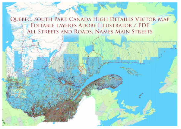
Printable Map — Quebec Canada
A production‑ready printable map of Quebec Canada built for clear labeling and predictable output across sizes. Coordinates and scales are prepared for sheet production and consistent exports. Named layers let you restyle colors, line weights and label classes without cleanup passes. Typography spacing is tuned for quick reading on posters, brochures and reports. Crisp vectors preserve edges at high DPI and export compactly for web delivery. Waterfronts and parks receive extra separation for better contrast on light palettes.
Works well as an underlay for wayfinding, transport schemes and editorial layouts. Ideal for signage, event maps, campus leaflets and waterfront brochures. Color systems can be swapped quickly to match seasonal or brand variants. Editors can brand the palette and icons, then export sharp results for both print and web. Files remain compact thanks to clean geometry and disciplined labeling.


 Author: Kirill Shrayber, Ph.D. FRGS