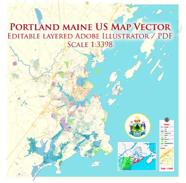
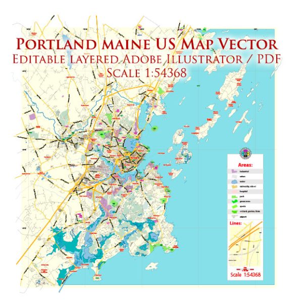
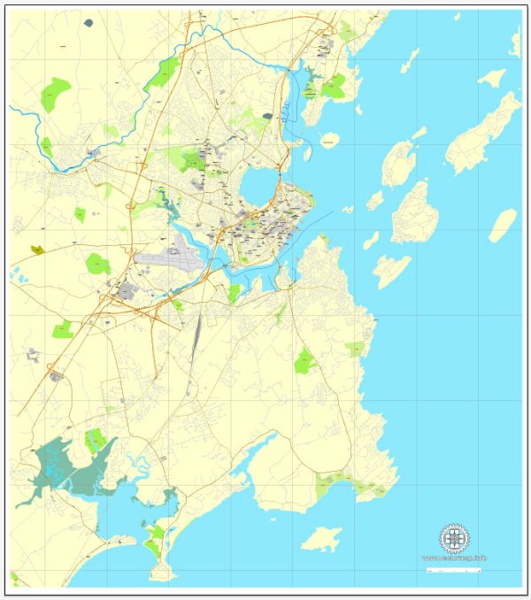
A general overview of the transportation and port infrastructure in Portland, Maine.
Vectormap.Net provide you with the most accurate and up-to-date vector maps in Adobe Illustrator, PDF and other formats, designed for editing and printing. Please read the vector map descriptions carefully.
Transportation Infrastructure:
- Highways: Portland is well-connected by a network of highways, including Interstate 95 (I-95), which runs north-south and connects Portland to major cities like Boston and points south. Interstate 295 (I-295) provides a bypass route around the city.
- Public Transportation: The Greater Portland Metro area has a public transportation system operated by the Greater Portland Metro. It includes buses that serve the city and surrounding areas.
- Airport: Portland International Jetport (PWM) serves as the primary airport for the region. It provides domestic flights to major cities, making it a key transportation hub for air travel.
- Rail: Amtrak’s Downeaster train service connects Portland to Boston, making it convenient for passengers traveling between these two cities.
- Ports: The Port of Portland is a significant hub for maritime transportation. It handles a variety of cargo, including bulk commodities, forest products, and containers. The International Marine Terminal plays a key role in facilitating international trade.
Port Infrastructure:
- Port of Portland: The Port of Portland is a deep-water port located on the Fore River. It serves as a vital economic engine for the region and the state of Maine. The port handles various types of cargo, including bulk, breakbulk, and containerized goods.
- International Marine Terminal (IMT): The International Marine Terminal is a key facility within the Port of Portland, dedicated to international trade. It facilitates the movement of goods between Maine and global markets, particularly those in Canada and Northern Europe. The IMT has facilities for container handling, bulk cargo, and roll-on/roll-off (RoRo) operations.
- Cruise Port: Portland is a popular destination for cruise ships. The Portland Ocean Terminal serves as the city’s cruise port, welcoming cruise ships from various destinations.
- Infrastructure and Facilities: The port is equipped with modern cargo-handling equipment, storage facilities, and transportation connections to ensure efficient movement of goods. The International Marine Terminal has undergone upgrades to enhance its capabilities and accommodate larger vessels.
- Connectivity: The port is well-connected to major transportation arteries, including highways and railroads, facilitating the efficient movement of cargo to and from the port.
It’s important to verify this information with the latest sources, as developments and improvements to transportation and port infrastructure can occur over time.


 Author: Kirill Shrayber, Ph.D. FRGS