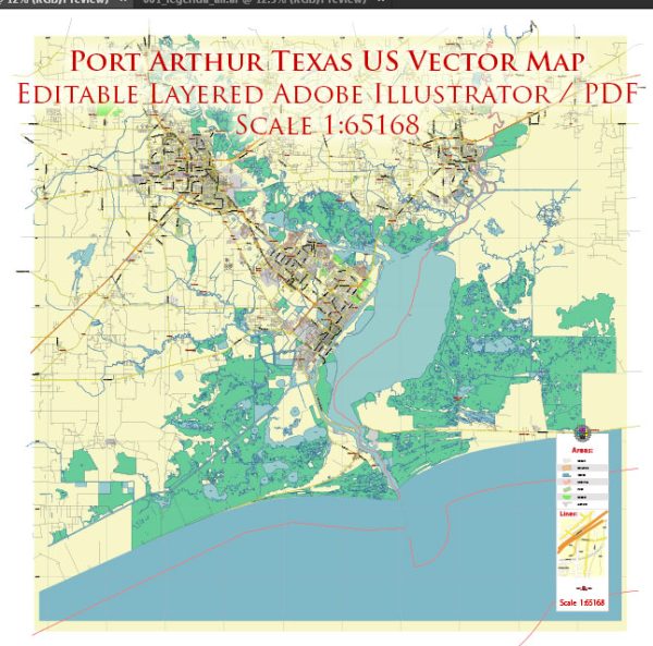
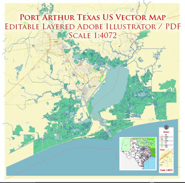
A general overview of the history, port, and transportation infrastructure of Port Arthur, Texas.
Vectormap.Net provide you with the most accurate and up-to-date vector maps in Adobe Illustrator, PDF and other formats, designed for editing and printing. Please read the vector map descriptions carefully.
History: Port Arthur, located in Jefferson County, Texas, has a rich history tied to its development as a port and industrial center. The city’s history is closely linked to the oil industry, as it played a significant role in the early 20th-century oil boom in Texas. The discovery of oil at Spindletop in 1901 near Beaumont, just northwest of Port Arthur, led to a rapid influx of people and businesses to the region.
Port Arthur Port: The Port of Port Arthur is a major deep-water port on the Gulf of Mexico. It is one of the largest seaports in Texas and serves as a vital hub for the petrochemical industry. The port handles a variety of cargoes, including crude oil, refined products, chemicals, and bulk materials. The port’s strategic location on the Gulf Coast facilitates both domestic and international trade.
Transportation Infrastructure:
- Waterways: The port is situated on the Sabine-Neches Waterway, a significant navigable waterway connecting the Gulf of Mexico to the inland waterway system. This allows for the efficient transportation of goods by water.
- Rail: Port Arthur has a well-developed rail infrastructure that connects to major rail networks. Rail transportation is crucial for the movement of goods, especially in the petrochemical industry.
- Highways: The city is served by a network of highways, including Interstate 10, which is a major east-west corridor. This facilitates the transportation of goods by truck and connects the region to other parts of Texas and the United States.
- Air: The Southeast Texas Regional Airport serves the Port Arthur area, providing air transportation options for both passengers and cargo.
Economic Importance: The port and transportation infrastructure are integral to the economic development of Port Arthur. The city’s economy revolves around the petrochemical industry, with refineries, chemical plants, and other related facilities contributing significantly to its economic output.
Recent Developments (as of 2022): As of my last update, there were ongoing efforts to enhance and expand the port’s facilities to accommodate the growing demands of the petrochemical industry. Investments in infrastructure and technology were being made to improve efficiency and increase the port’s capacity.
For the most recent and specific information, I recommend checking with local authorities, the Port of Port Arthur, or official government sources for updates on the history, port, and transportation infrastructure of Port Arthur, Texas.


 Author: Kirill Shrayber, Ph.D. FRGS