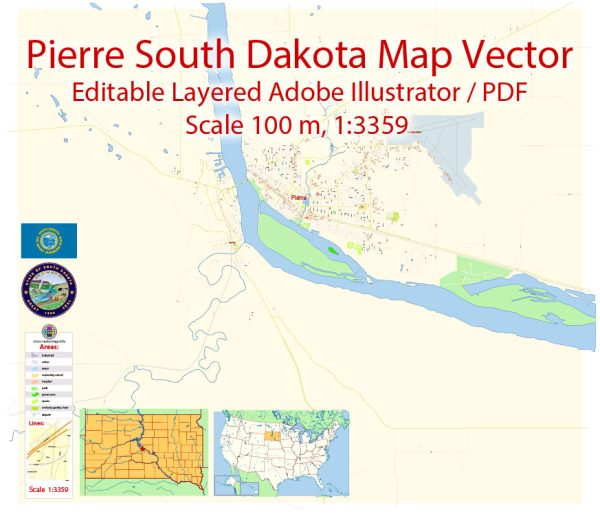
A general overview of Pierre, South Dakota’s layout and some information on its districts and communities.
Vectormap.Net provide you with the most accurate and up-to-date vector maps in Adobe Illustrator, PDF and other formats, designed for editing and printing. Please read the vector map descriptions carefully.
Pierre Overview: Pierre is the capital city of South Dakota and is located along the eastern bank of the Missouri River. It is known for its historic sites, government buildings, and outdoor recreational opportunities. The city is relatively small, with a population of around 14,000 people, and it plays a significant role in the state’s political and administrative functions.
Districts and Communities: Pierre may not have well-defined districts in the same way as larger cities, but it does have distinct neighborhoods and communities. Some notable areas include:
- Downtown Pierre: This is likely the central business district, home to government offices, local businesses, and historical sites. The State Capitol building, along with other government buildings, is located in or around downtown.
- Residential Areas: Pierre has various residential neighborhoods, ranging from historic districts with charming older homes to more modern suburban developments. These areas are home to a mix of families, professionals, and individuals.
- Riverfront Area: Given its proximity to the Missouri River, there may be a riverfront area with parks, recreational facilities, and possibly residential developments offering scenic views of the water.
- Cultural and Recreational Areas: Pierre may have specific areas designated for cultural or recreational purposes, such as parks, museums, and other public spaces.
Street System: Pierre’s street system is likely organized in a grid pattern, common in many U.S. cities. Main streets and avenues may radiate out from the central business district, and the city may be divided into numbered or named blocks. The street layout should be relatively straightforward and easy to navigate.
To get the most accurate and current information on Pierre’s districts, communities, and street system, it is recommended to check with the City of Pierre’s official website, local government offices, or community resources.


 Author: Kirill Shrayber, Ph.D. FRGS