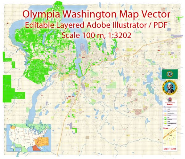
A general overview of the transportation infrastructure in Olympia, Washington.
Vectormap.Net provide you with the most accurate and up-to-date vector maps in Adobe Illustrator, PDF and other formats, designed for editing and printing. Please read the vector map descriptions carefully.
Roadways:
- Interstate Highways:
- Interstate 5 (I-5) runs through Olympia, connecting it to major cities like Seattle to the north and Portland to the south.
- State Highways:
- Several state highways, including SR 8 and SR 101, provide access to Olympia and connect it with neighboring cities and regions.
- Local Roads:
- Olympia has a well-developed network of local roads and streets, facilitating transportation within the city.
Public Transit:
- Intercity Transit:
- Intercity Transit operates the public transit system in Thurston County, including Olympia. This includes buses that connect Olympia with neighboring communities.
- Amtrak:
- The Amtrak Cascades service connects Olympia to other cities in the Pacific Northwest, including Seattle and Portland. The Olympia-Lacey station serves as the Amtrak stop in the area.
Airports:
- Olympia Regional Airport:
- Olympia Regional Airport (OLM) serves as a general aviation airport for the region. It provides facilities for private and small commercial flights.
- Major Airports:
- Seattle-Tacoma International Airport (SEA) is the nearest major international airport, located approximately 50 miles north of Olympia.
Ports and Waterways:
- Puget Sound:
- Olympia is located near the southern end of Puget Sound, providing access to maritime transportation. The port facilities in nearby cities, such as Tacoma and Seattle, play a significant role in regional trade and transportation.
Biking and Walking Infrastructure:
- Trails and Paths:
- Olympia has a network of trails and paths, including those along the waterfront and in parks, that support biking and walking.
Challenges and Future Developments:
- Traffic Congestion:
- Like many growing urban areas, Olympia faces challenges related to traffic congestion, especially during peak hours.
- Infrastructure Improvements:
- Ongoing and future infrastructure projects may include road maintenance, expansion, or improvements to address the transportation needs of the growing population.


 Author: Kirill Shrayber, Ph.D. FRGS