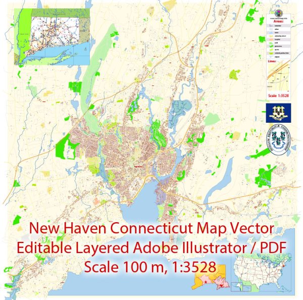
A general information about New Haven, Connecticut.
Vectormap.Net provide you with the most accurate and up-to-date vector maps in Adobe Illustrator, PDF and other formats, designed for editing and printing. Please read the vector map descriptions carefully.
Main Coordinates (Latitude, Longitude): New Haven, Connecticut, is located at approximately 41.3082° N latitude and 72.9279° W longitude.
Total Area: The total land area of New Haven is approximately 18.7 square miles (48.4 square kilometers).
Main Streets and Roads: New Haven has a network of streets and roads that connect various neighborhoods and points of interest. Some of the main streets and roads in and around New Haven include:
- Interstate 95 (I-95): A major north-south interstate highway that passes through the eastern part of New Haven, connecting it to other cities along the East Coast.
- Interstate 91 (I-91): Another major north-south interstate highway that runs through the western part of New Haven, providing connections to Hartford and beyond.
- Route 34 (Derby Avenue): A significant east-west route connecting downtown New Haven to surrounding areas.
- Whalley Avenue: A major thoroughfare running through the city from downtown to the western neighborhoods.
- State Street: Running parallel to Whalley Avenue, State Street is another important route connecting downtown to the eastern parts of New Haven.
- Dixwell Avenue: Extending from downtown to the northern neighborhoods, Dixwell Avenue is a key north-south route.
- Chapel Street: A prominent street in downtown New Haven, known for its shops, restaurants, and cultural attractions.
- George Street: Located in the heart of Yale University, George Street is notable for its connection to the university campus.
Please keep in mind that these are general details, and there may have been changes or developments since my last update. For the most accurate and current information, consider checking with local authorities or using online mapping services.


 Author: Kirill Shrayber, Ph.D. FRGS