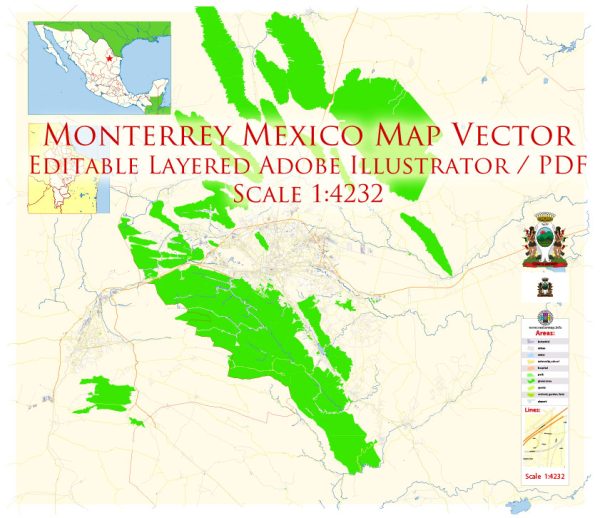
Monterrey, located in the northeastern part of Mexico, is the capital and largest city of the state of Nuevo León. The city has a rich history that spans several centuries and has undergone significant transformations, evolving from a small colonial settlement to a major industrial and economic hub.
Vectormap.Net provide you with the most accurate and up-to-date vector maps in Adobe Illustrator, PDF and other formats, designed for editing and printing. Please read the vector map descriptions carefully.
Here’s a detailed overview of the urban history and street system of Monterrey:
Historical Overview:
Pre-Colonial Era:
Before the arrival of Spanish colonizers, the region that is now Monterrey was inhabited by various indigenous groups, including the Huachichil and Coahuiltecan peoples. These groups were hunter-gatherers, and evidence of their presence dates back thousands of years.
Colonial Period:
Monterrey was officially founded on September 20, 1596, by Diego de Montemayor, a Spanish explorer. The establishment of the city was part of Spain’s efforts to expand its colonial presence in the New World. Monterrey served as a strategic outpost and a supply center for further expeditions into the northern territories.
19th Century:
During the Mexican War of Independence (1810-1821), Monterrey played a crucial role as a key military and political center. The city witnessed several battles, including the Battle of Monterrey in 1846 during the Mexican-American War, when U.S. forces captured the city.
Industrialization and Growth:
In the late 19th and early 20th centuries, Monterrey experienced significant industrialization, driven largely by the growth of the steel industry. The development of iron and steel production, along with other manufacturing sectors, transformed Monterrey into an economic powerhouse. This period marked the beginning of the city’s urban expansion and the establishment of modern infrastructure.
20th Century:
Monterrey continued to grow throughout the 20th century, becoming a major center for industry, commerce, and education. The city’s population increased, and urbanization led to the development of neighborhoods, commercial districts, and modern amenities.
Contemporary Era:
In recent decades, Monterrey has positioned itself as one of Mexico’s most important business and industrial centers. The city is known for its modern skyline, educational institutions, and cultural attractions. However, like many urban areas, Monterrey faces challenges such as traffic congestion, pollution, and social inequality.
Street System:
Monterrey’s street system has evolved with the city’s growth and development. Key aspects of the street system include:
Grid Layout:
Much of Monterrey’s urban layout follows a grid pattern, particularly in the downtown area. The grid system facilitates navigation and organization, with streets running parallel and perpendicular to each other.
Avenues and Boulevards:
Monterrey features wide avenues and boulevards that connect different parts of the city. Some of these major thoroughfares are lined with commercial and residential developments, contributing to the city’s dynamic atmosphere.
Historic Districts:
The historic center of Monterrey preserves colonial-era architecture and narrow streets, providing a glimpse into the city’s past. Landmarks such as the Metropolitan Cathedral and Macroplaza are situated in this area.
Modern Infrastructure:
As Monterrey expanded, modern infrastructure projects have been implemented to address the needs of a growing population. These include expressways, bridges, and tunnels designed to improve transportation and connectivity.
In summary, Monterrey’s urban history reflects a journey from a colonial outpost to a thriving industrial and economic center. The city’s street system has adapted to accommodate its growth, with a mix of historic districts and modern infrastructure contributing to Monterrey’s unique character.


 Author: Kirill Shrayber, Ph.D. FRGS