Mexico City, or Ciudad de México, is the capital and largest city of Mexico. It is one of the most populous cities in the world and is known for its rich history, vibrant culture, and diverse neighborhoods.
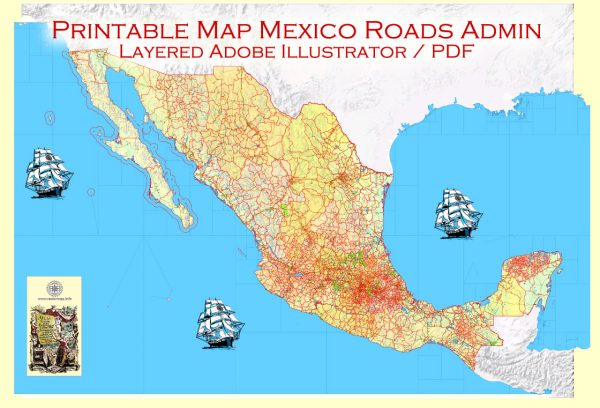
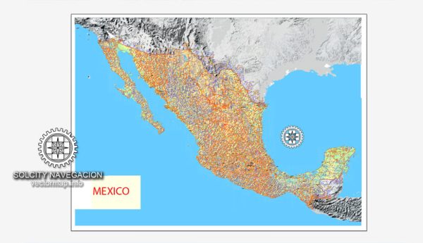
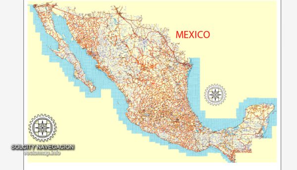
Vectormap.Net provide you with the most accurate and up-to-date vector maps in Adobe Illustrator, PDF and other formats, designed for editing and printing. Please read the vector map descriptions carefully.
Districts (Delegaciones):
Mexico City is divided into 16 administrative divisions known as delegaciones, which are equivalent to boroughs or districts. Each delegación is further divided into neighborhoods and communities. Here are some notable delegaciones:
- Cuauhtémoc: This central delegación is home to the historic city center, Zócalo, and many government buildings. It’s a mix of historic architecture and modern developments.
- Miguel Hidalgo: This area includes upscale neighborhoods like Polanco and Lomas de Chapultepec. It is known for its cultural attractions, parks, and embassies.
- Benito Juárez: This central-southern delegación is residential and includes neighborhoods like Colonia del Valle. It’s known for its parks, schools, and shopping areas.
- Coyoacán: Famous for its bohemian atmosphere, Coyoacán is known for the historic center, Frida Kahlo’s Casa Azul, and the campus of the National Autonomous University of Mexico (UNAM).
- Iztapalapa: One of the most populous delegaciones, Iztapalapa is characterized by residential areas, markets, and cultural events, including the annual Passion Play during Easter.
Neighborhoods (Colonias):
Within each delegación, you will find various neighborhoods or colonias. Some of these are well-established residential areas, while others are more commercial or industrial. Examples include:
- Condesa and Roma: Trendy and artsy neighborhoods with tree-lined streets, parks, and a vibrant nightlife.
- Santa Fe: A modern business and residential district with high-rise buildings, shopping centers, and corporate offices.
- Xochimilco: Known for its extensive canal system and floating gardens (chinampas), Xochimilco offers a unique cultural and recreational experience.
Streets and Infrastructure:
Mexico City’s street system is a grid, especially in the central areas, but it can be irregular in older neighborhoods. Major streets often follow the layout of the ancient Aztec city of Tenochtitlan. Some important thoroughfares include:
- Paseo de la Reforma: A grand avenue with monuments, hotels, and office buildings, it connects the city center with Chapultepec Park.
- Avenida Insurgentes: One of the longest avenues in the world, running from north to south, it crosses many delegaciones and is a major transportation corridor.
- Calzada de Tlalpan: Connecting the city center with the southern part of the city, this historic road has important landmarks and neighborhoods along its route.
- Eje Central: A central axis that runs through the heart of the city, connecting different areas and hosting various shops and businesses.
It’s important to note that Mexico City is constantly evolving, and new developments may have occurred since my last update. Additionally, the city is known for its traffic, so public transportation, including the metro and buses, plays a crucial role in the daily lives of residents.


 Author: Kirill Shrayber, Ph.D. FRGS