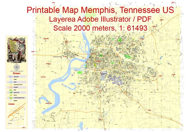
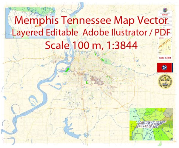
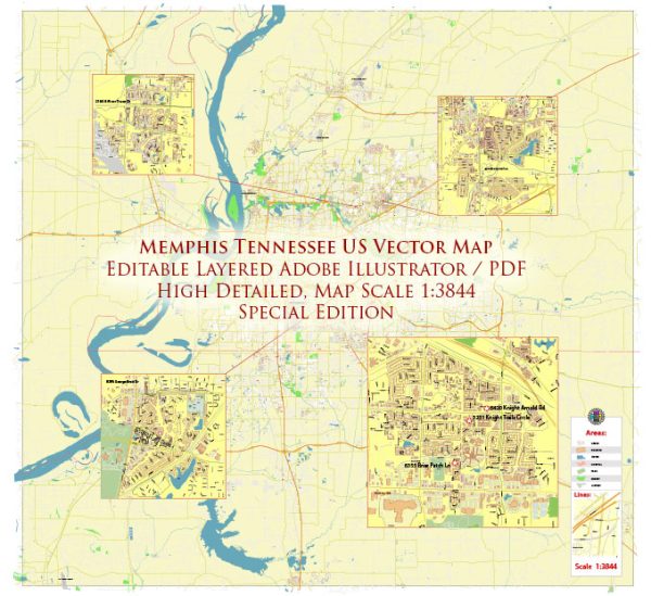
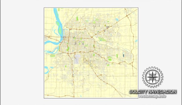
A general overview of the roads and streets infrastructure in Memphis, Tennessee.
Vectormap.Net provide you with the most accurate and up-to-date vector maps in Adobe Illustrator, PDF and other formats, designed for editing and printing. Please read the vector map descriptions carefully.
- Major Highways: Memphis is a major transportation hub, and several major highways intersect or pass through the city. These include:
- Interstate 40 (I-40): Runs east-west through the northern part of the city, connecting Memphis with cities like Nashville and Little Rock.
- Interstate 55 (I-55): Travels north-south and intersects with I-40 in Memphis. It connects the city to cities such as Jackson, Mississippi, and St. Louis, Missouri.
- Interstate 240 (I-240): A loop that encircles much of the city, providing access to various neighborhoods and facilitating traffic flow within the metropolitan area.
- US Highways:
- Several U.S. highways pass through or near Memphis, including US-51, US-61, and US-64.
- Local Roads and Streets:
- The city has an extensive network of local roads and streets, which are typically laid out in a grid pattern.
- Notable streets in Memphis include Poplar Avenue, Union Avenue, and Beale Street, each with its own historical and cultural significance.
- Downtown Memphis is characterized by a well-defined street grid, making it relatively easy for navigation.
- Bridges:
- Memphis is located on the Mississippi River, and several bridges connect the city to the neighboring state of Arkansas. The most iconic bridge is the Hernando de Soto Bridge, which carries I-40 over the Mississippi River.
- Public Transportation:
- Memphis has a public transit system known as the Memphis Area Transit Authority (MATA), which operates buses throughout the city.
- The city has been exploring ways to improve public transportation, and initiatives may have been implemented since my last update.
- Cycling and Pedestrian Infrastructure:
- Efforts have been made to improve cycling and pedestrian infrastructure in Memphis, including the development of greenways and bike lanes.
- Infrastructure Developments:
- It’s important to note that infrastructure is subject to changes and developments. New roads, bridges, and other projects may have been initiated since my last update.
For the most accurate and current information, consider checking with local transportation authorities, city planning departments, or official websites for Memphis.

 Author: Kirill Shrayber, Ph.D. FRGS