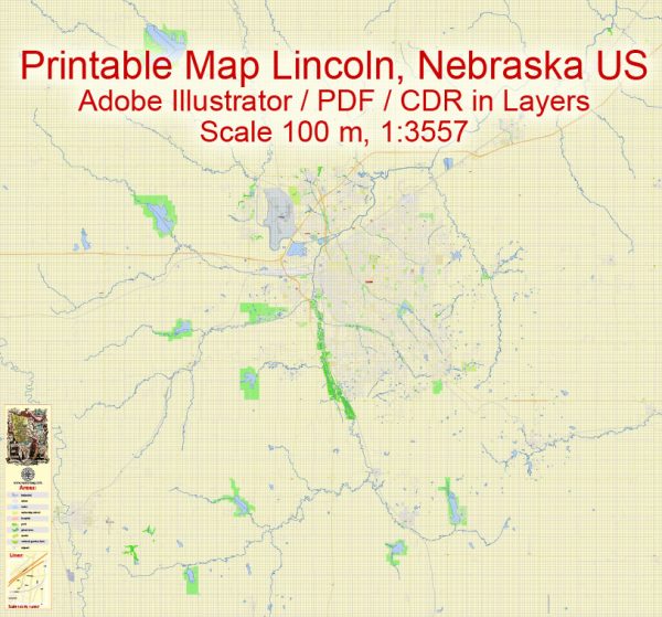
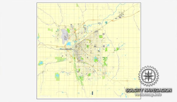
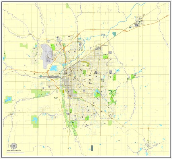
A general overview of the economic and transportation landscape in Lincoln, Nebraska, USA.
Vectormap.Net provide you with the most accurate and up-to-date vector maps in Adobe Illustrator, PDF and other formats, designed for editing and printing. Please read the vector map descriptions carefully.
Economic Overview:
Diverse Economy:
Lincoln has a diverse and stable economy, with contributions from various sectors such as government, education, healthcare, manufacturing, and services. The city is the state capital of Nebraska, which further emphasizes the presence of government-related activities.
Major Industries:
- Government and Education: Being the state capital, government-related activities, including public administration and education, play a significant role. The University of Nebraska-Lincoln is a major educational institution that contributes to the local economy.
- Healthcare: The healthcare sector is another important contributor to the economy, with various medical facilities and research institutions.
- Manufacturing: Lincoln has a growing manufacturing sector, including the production of machinery, food products, and other goods.
- Services and Technology: The city also benefits from a thriving services sector, including technology-related industries and professional services.
Employment:
The city has a relatively low unemployment rate, and the cost of living is generally moderate compared to national averages.
Transportation Overview:
Roadways:
Lincoln is well-connected by an extensive network of roads and highways. Interstate 80 runs through the city, providing a vital east-west connection. Other major highways, such as I-180 and U.S. Route 77, also contribute to the city’s transportation infrastructure.
Public Transportation:
Lincoln has a public transit system operated by StarTran, providing bus services throughout the city. While the public transportation network is not as extensive as in larger cities, it serves the needs of many residents.
Air Transportation:
The city is served by the Lincoln Airport (Lincoln Airport), which provides domestic flights. For international travel, residents often use the Eppley Airfield in Omaha, which is approximately 50 miles northeast of Lincoln.
Rail Transportation:
Rail transportation plays a role in Lincoln’s economic activity, with rail lines facilitating the transportation of goods and supporting manufacturing industries.
Biking and Walking:
Lincoln is known for being a bike-friendly city with a network of trails and bike lanes. The city has made efforts to enhance walkability and promote alternative modes of transportation.


 Author: Kirill Shrayber, Ph.D. FRGS