Lille, a city in northern France, has a rich industrial history that has significantly shaped its development.
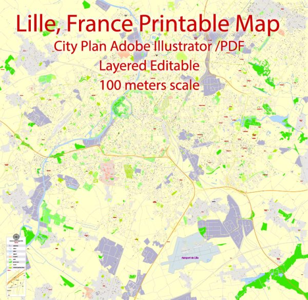
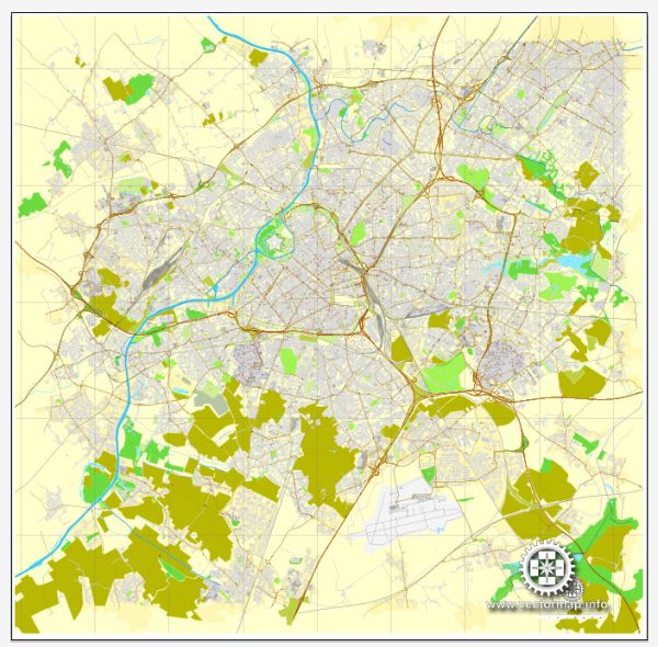
Vectormap.Net provide you with the most accurate and up-to-date vector maps in Adobe Illustrator, PDF and other formats, designed for editing and printing. Please read the vector map descriptions carefully.
Here is a detailed overview of the industrial history and road system in Lille:
Industrial History:
- Textile Industry: Lille’s industrial roots can be traced back to the textile industry, which played a pivotal role in the city’s economic growth during the 18th and 19th centuries. The city became a major center for textile production, with numerous factories and workshops producing textiles like linen and cotton.
- Coal Mining: The discovery of coal deposits in the region further fueled industrialization. Coal mining became a significant economic activity, providing the necessary energy for factories and contributing to the growth of the steel and manufacturing sectors.
- Steel and Manufacturing: Lille’s industrial landscape expanded with the development of the steel industry. Steel production and manufacturing became key components of the city’s economy, leading to the establishment of foundries and metalworking facilities.
- Transportation Infrastructure: The industrial boom in Lille was facilitated by the city’s strategic location and the development of transportation infrastructure. Canals were constructed to transport raw materials and finished products, connecting Lille to neighboring industrial centers and port cities.
- World Wars Impact: The 20th century brought challenges to Lille’s industrial sector, especially during the World Wars. The city faced significant damage during both conflicts, impacting its industrial infrastructure. However, post-war reconstruction efforts led to the modernization and revitalization of the industrial sector.
- Post-World War II Economic Diversification: In the post-World War II era, Lille underwent economic diversification. The city shifted from heavy industry to a more diversified economic base, including the development of the service sector, technology, and research.
Road System:
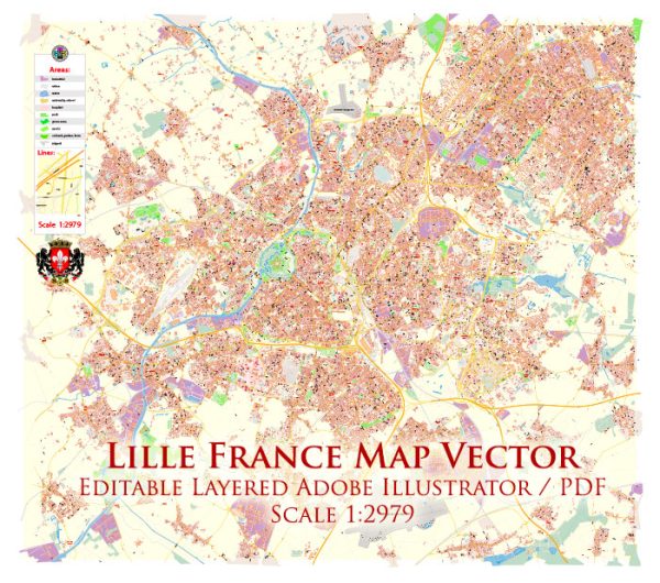
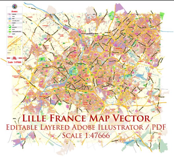
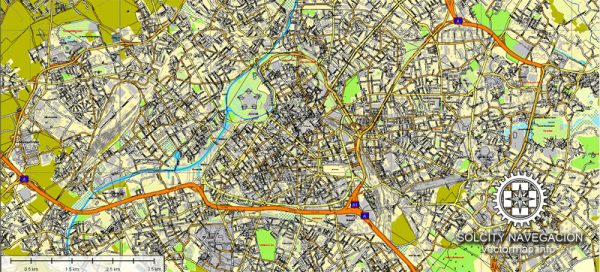
- Historical Road Network: Lille’s road system evolved over the centuries. The city’s historic center is characterized by narrow, winding streets, reflecting its medieval origins. As industrialization progressed, road networks expanded to accommodate increased traffic and facilitate the movement of goods.
- Modern Infrastructure: Today, Lille boasts a well-developed and modern road system. The city is a major transportation hub, with highways connecting it to other French cities and European destinations. Lille’s road network plays a crucial role in supporting the region’s economic activities, including trade and tourism.
- Public Transportation: In addition to roads, Lille has a comprehensive public transportation system, including buses and a metro network. The Lille Metro, opened in 1983, provides efficient transportation within the city and its suburbs.
- Urban Planning and Renovation: Urban planning initiatives have aimed to enhance the accessibility and aesthetics of Lille. Renovation projects have transformed certain areas, integrating modern infrastructure with historical architecture.
In summary, Lille’s industrial history reflects its transformation from a textile and coal-mining center to a diversified, modern economy. The city’s road system has evolved over time to support its industrial growth and to meet the demands of a contemporary, well-connected urban center.

 Author: Kirill Shrayber, Ph.D.