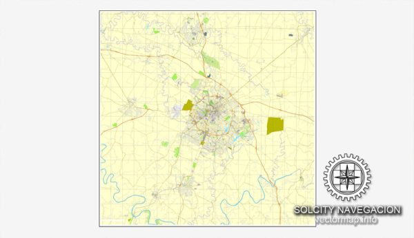
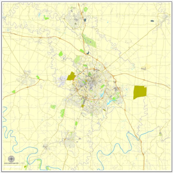
A general overview of the history and transportation infrastructure of Lexington, Kentucky.
Vectormap.Net provide you with the most accurate and up-to-date vector maps in Adobe Illustrator, PDF and other formats, designed for editing and printing. Please read the vector map descriptions carefully.
History: Lexington, located in the heart of Kentucky’s Bluegrass Region, has a rich history dating back to the late 18th century. The city was established in 1775 and named after the Battle of Lexington during the American Revolutionary War. It played a significant role in the development of the state and the nation.
Lexington has a strong association with horse breeding and racing, earning the nickname “Horse Capital of the World.” It is home to renowned horse farms and the historic Keeneland Race Course.
The city’s history is also influenced by its educational institutions, including the University of Kentucky, founded in 1865, and Transylvania University, one of the oldest universities in the United States, established in 1780.
Transportation Infrastructure:
- Roads and Highways: Lexington is well-connected by a network of roads and highways. Major highways include I-64, I-75, and I-64, providing convenient access to other cities in Kentucky and neighboring states.
- Blue Grass Airport: The Blue Grass Airport serves the Lexington area, providing air transportation services. It handles both domestic and limited international flights, contributing to the city’s connectivity.
- Railroads: Historically, railroads played a crucial role in Lexington’s development. While the prominence of rail transportation has diminished over the years, there are still rail lines serving the city, facilitating the movement of goods.
- Public Transportation: Lextran is the public transportation system in Lexington, offering bus services throughout the city. Public transportation is essential for residents and visitors, providing an alternative to private vehicles.
- Cycling and Pedestrian Infrastructure: Efforts have been made to improve cycling and pedestrian infrastructure in Lexington, promoting alternative modes of transportation and creating a more walkable and bike-friendly city.
- Infrastructure Development: Over the years, there have been ongoing efforts to enhance and expand the transportation infrastructure in Lexington. This includes road improvements, airport expansions, and initiatives to address traffic congestion.
It’s important to note that developments in transportation infrastructure are dynamic, and changes may have occurred since my last update. For the most current information, you may want to refer to local government sources, transportation authorities, or recent news articles related to Lexington, Kentucky.


 Author: Kirill Shrayber, Ph.D. FRGS