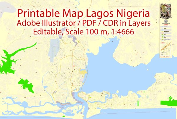
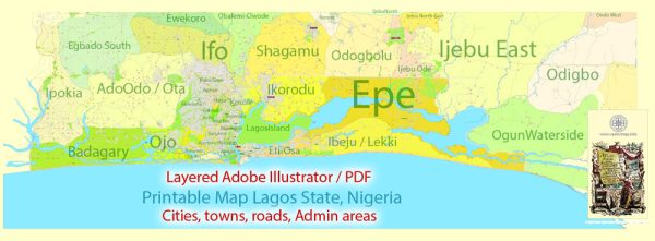
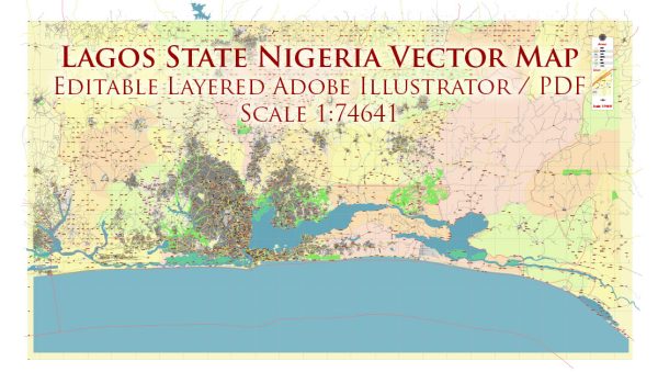
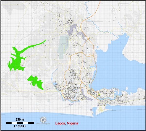
Lagos, Nigeria, is a vibrant and rapidly growing city with a rich history and a complex transportation infrastructure.
Vectormap.Net provide you with the most accurate and up-to-date vector maps in Adobe Illustrator, PDF and other formats, designed for editing and printing. Please read the vector map descriptions carefully.
History of Lagos:
Pre-Colonial Era:
- The area now known as Lagos has a history dating back to pre-colonial times when it was inhabited by various indigenous communities.
- The Awori people were among the early settlers, and Lagos Island was a hub for trade.
Colonial Period:
- Lagos became a British colony in the mid-19th century and remained so until Nigeria gained independence in 1960.
- The city served as the capital of Nigeria during British rule.
Post-Independence:
- After independence, Lagos continued to be a significant economic and cultural center in Nigeria.
Transportation Infrastructure:
Roads:
- Lagos has a network of roads connecting various parts of the city. However, traffic congestion has been a significant challenge due to the city’s rapid urbanization.
- Major roads include the Lagos-Ibadan Expressway, Apapa-Oshodi Expressway, and Third Mainland Bridge.
Bridges:
- The Third Mainland Bridge is one of the longest bridges in Africa, connecting Lagos Island to the mainland. It plays a crucial role in easing traffic congestion.
- Other notable bridges include the Eko Bridge and the Carter Bridge.
Public Transportation:
- Buses: Lagos has a significant reliance on buses, including the iconic yellow danfo buses. The Bus Rapid Transit (BRT) system was introduced to improve public transportation efficiency.
- Water Transportation: Lagos is surrounded by water, and water transportation is essential. Ferry services operate between different parts of the city, and there are plans to expand water transport infrastructure.
Rail Transportation:
- Historically, Lagos had a rail network, but its significance diminished over the years. However, efforts have been made to revitalize the rail system.
- The Lagos Light Rail project has been in development to provide a modern and efficient rail transport system.
Air Transportation:
- Murtala Muhammed International Airport serves as the major international gateway to Lagos. It handles both domestic and international flights.
- The airport has been expanded and upgraded to accommodate the growing number of passengers.
Challenges and Future Developments:
- Traffic congestion remains a significant challenge, leading to initiatives to improve road infrastructure, expand public transportation, and promote alternative means of commuting.
- Ongoing projects aim to enhance transportation, such as the expansion of the rail network, the construction of new roads, and improvements in water transport.
It’s important to check for the latest updates and developments, as infrastructure projects and urban planning initiatives are continually evolving.


 Author: Kirill Shrayber, Ph.D.