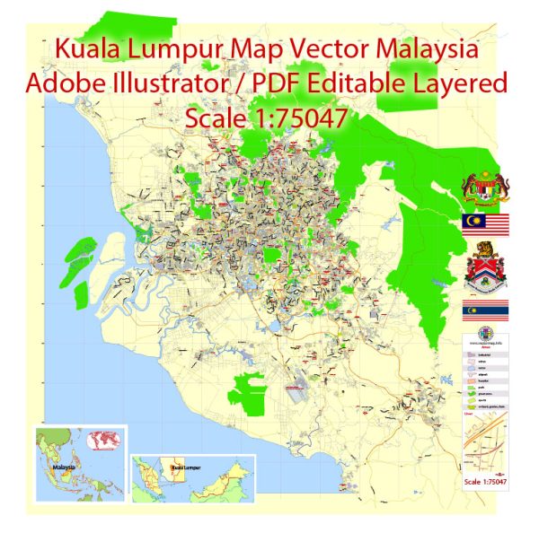
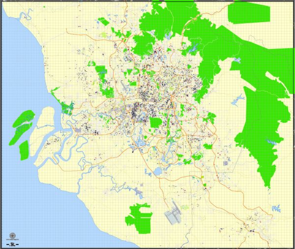
Kuala Lumpur, the capital city of Malaysia, has a rich history and a well-developed transportation infrastructure.
Vectormap.Net provide you with the most accurate and up-to-date vector maps in Adobe Illustrator, PDF and other formats, designed for editing and printing. Please read the vector map descriptions carefully.
Let’s delve into both aspects:
History:
- Early History: Kuala Lumpur’s history dates back to the 19th century when it was a small tin-mining settlement. The area was initially inhabited by indigenous peoples like the Orang Asli. The discovery of tin in the Klang Valley in the 1850s led to a rapid influx of Chinese miners and traders.
- Development Period: Kuala Lumpur’s growth accelerated during the late 19th and early 20th centuries. It became the capital of Selangor in 1880 and later the capital of the Federated Malay States in 1896. The city played a crucial role in the British colonial administration.
- Independence and Modernization: Malaysia gained independence in 1957, and Kuala Lumpur continued to play a central role in the country’s political and economic development. The city underwent rapid modernization, transforming from a colonial-era town to a bustling metropolis.
- Landmarks and Skyscrapers: Kuala Lumpur is known for its iconic landmarks, including the Petronas Towers, once the tallest twin towers in the world. These landmarks symbolize Malaysia’s economic progress and modernity.
Transportation Infrastructure:
- Road Network: Kuala Lumpur has an extensive road network, with well-maintained highways and expressways connecting the city to other parts of Malaysia. The city’s road infrastructure includes the North-South Expressway, the Kuala Lumpur Inner Ring Road, and the Duta-Ulu Klang Expressway.
- Public Transportation:
- RapidKL: Kuala Lumpur has a comprehensive public transportation system managed by Prasarana Malaysia Berhad. The RapidKL network includes buses, the LRT (Light Rail Transit), MRT (Mass Rapid Transit), and monorail services, providing efficient connectivity within the city and its suburbs.
- KTM Komuter: The KTM Komuter train service connects Kuala Lumpur to its surrounding areas, facilitating commuter travel.
- Airport Link: Kuala Lumpur International Airport (KLIA) is well-connected to the city center through the KLIA Ekspres and KLIA Transit train services, ensuring efficient transportation for air travelers.
- Taxis and Ride-Sharing: Taxis and ride-sharing services like Grab are readily available in Kuala Lumpur, providing convenient point-to-point transportation.
- Future Developments: Kuala Lumpur continues to invest in its transportation infrastructure. Future projects include the expansion of the MRT lines, the Kuala Lumpur-Singapore High-Speed Rail (HSR), and the upgrading of road networks to enhance connectivity.
In summary, Kuala Lumpur’s history is marked by its transformation from a tin-mining settlement to a modern metropolis, while its transportation infrastructure has evolved to meet the needs of a growing urban population. The city’s well-connected road networks and efficient public transportation systems contribute to its status as a major economic and cultural hub in Southeast Asia.


 Author: Kirill Shrayber, Ph.D.