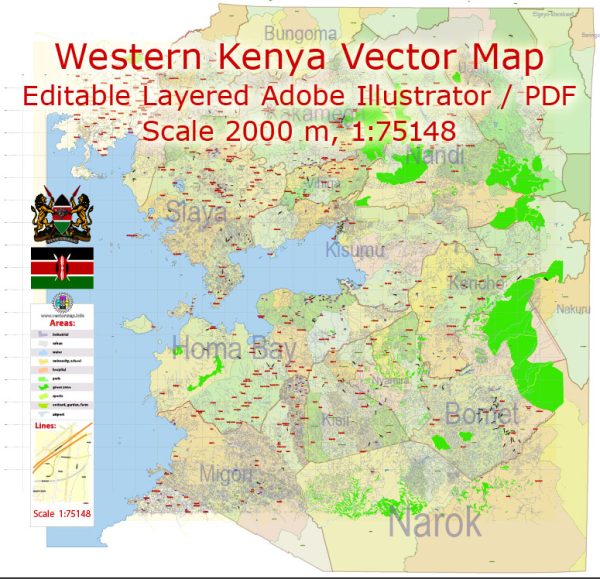
A general overview of the main cities and principal roads in the western part of Kenya.
Vectormap.Net provide you with the most accurate and up-to-date vector maps in Adobe Illustrator, PDF and other formats, designed for editing and printing. Please read the vector map descriptions carefully.
Main Cities:
- Kisumu: Kisumu is the third-largest city in Kenya and the largest city in the western part of the country. It is located on the shores of Lake Victoria and serves as a major economic and transportation hub for the region.
- Kakamega: Kakamega is another significant city in western Kenya. It is the headquarters of Kakamega County and is known for its agricultural activities, including sugarcane farming.
- Eldoret: While Eldoret is more commonly associated with the Rift Valley region, it is worth mentioning as it is an important city located not far from the western border. It is a key transportation and economic center in the region.
Principal Roads:
- Kisumu-Kakamega Road (A1): This is a major road connecting Kisumu to Kakamega, providing an essential link between these two significant cities in western Kenya.
- Kisumu-Busia Road (A1): Running from Kisumu to Busia, this road connects the western part of Kenya to the eastern border with Uganda. It is an important route for cross-border trade and transportation.
- Kisumu-Kericho Road (B1): This road connects Kisumu to Kericho and is crucial for both regional transportation and access to the Rift Valley region.
- Kakamega-Webuye Road (B1): Connecting Kakamega to Webuye, this road is vital for transportation within the western part of Kenya, facilitating movement between major towns.
- Eldoret-Kakamega Road (B1): Although Eldoret is more associated with the Rift Valley, the road connecting Eldoret to Kakamega plays a significant role in regional connectivity.
It’s important to note that road networks and infrastructure can change over time due to development projects and other factors. For the latest and most accurate information, it’s advisable to consult updated maps, government sources, or local authorities.


 Author: Kirill Shrayber, Ph.D. FRGS