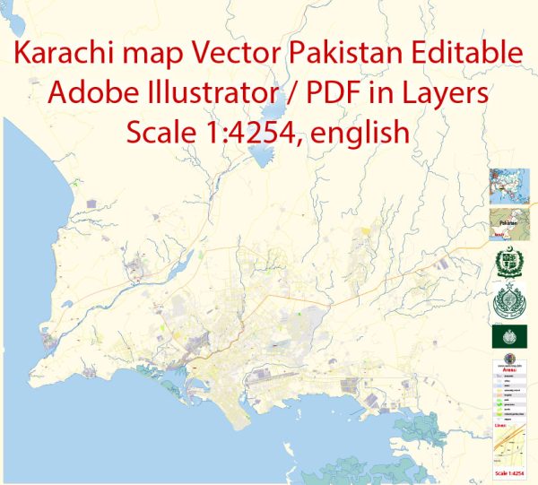
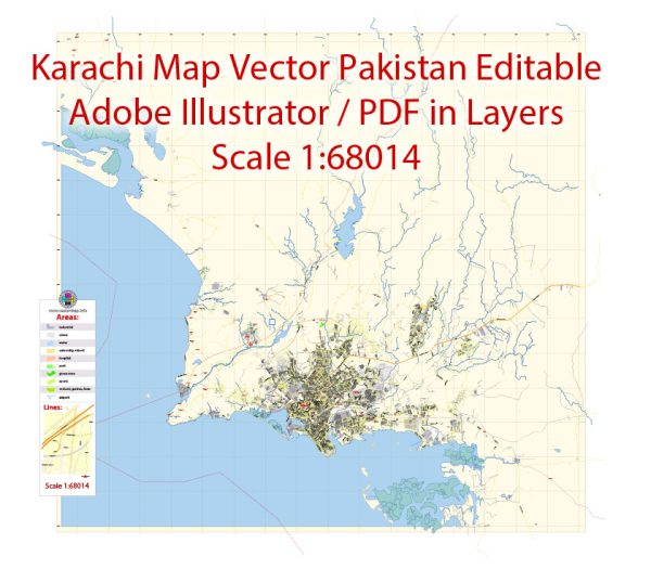
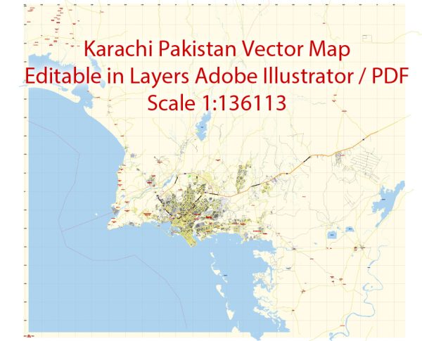
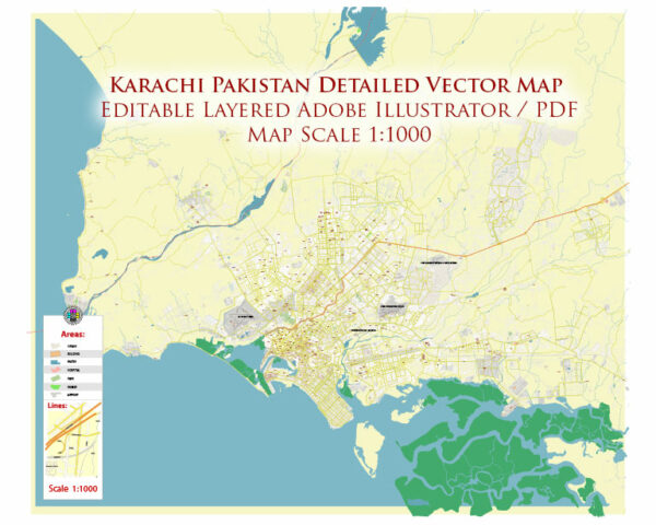
Vector Maps of the Karachi : largest city in Pakistan and the twelfth-largest city in the world. It is the capital of the Pakistani province of Sindh. Ranked as a beta-global city, it is Pakistan’s premier industrial and financial center.
Area: 3,780 km²
Elevation: 10 m
Download royalty free, editable vector maps of Karachi Pakistan in high resolution digital PDF and Adobe Illustrator format.
Vectormap.Net provide you with the most accurate and up-to-date vector maps in Adobe Illustrator, PDF and other formats, designed for editing and printing. Please read the vector map descriptions carefully.
Karachi, the largest city in Pakistan, has a rich and diverse history that spans thousands of years. The region has been inhabited for centuries, and it has witnessed the rise and fall of various civilizations.
Here is a brief overview of the history of Karachi and some of its main streets:
History:
- Ancient Period: The history of the Karachi region can be traced back to ancient times. It has been a part of various empires, including the Indus Valley Civilization, Persian Empire, and the Maurya and Gupta empires.
- Medieval Period: In the medieval period, Karachi was part of the Islamic Caliphate, and later it came under the rule of various Muslim dynasties, including the Umayyads, Abbasids, and the Delhi Sultanate.
- Mughal Empire: During the Mughal era, the region became a strategic port for trade and commerce. The Mughals established a factory in the area, contributing to its economic importance.
- Colonial Period: The British East India Company annexed Karachi in 1839. Under British rule, Karachi’s significance as a port city grew, leading to the development of infrastructure and trade.
- Independence and Post-Independence: Karachi became the capital of Pakistan upon the country’s creation in 1947. However, the capital was later moved to Islamabad in 1963. Karachi continued to be a major economic and cultural center.
Main Streets: Karachi is a vast and bustling metropolis with a network of streets and roads that connect its various neighborhoods and districts. Some of the main streets in Karachi include:
- M.A. Jinnah Road: Formerly known as Bunder Road, M.A. Jinnah Road is one of the oldest and most prominent streets in Karachi. It runs through the heart of the city, connecting various commercial and residential areas.
- Shahrah-e-Faisal: This major road extends from the Karachi Port Trust in the south to the Jinnah International Airport in the east. It is a key artery for transportation and commerce.
- Clifton Beach Road: Leading to Clifton Beach, this road is known for its scenic views and connects the city to the popular beach area.
- Tariq Road: A commercial hub, Tariq Road is famous for its shopping centers, boutiques, and eateries, making it a popular destination for residents and visitors alike.
- Korangi Road: Connecting the industrial area of Korangi, this road is vital for the transportation of goods and services.
- University Road: Home to several educational institutions, including the University of Karachi, this road is an important hub for students and academics.
It’s important to note that Karachi’s road infrastructure may have changed since my last update, and new developments may have occurred. For the most accurate and current information, it’s advisable to consult local sources or online mapping services.


 Author: Kirill Shrayber, Ph.D. FRGS